
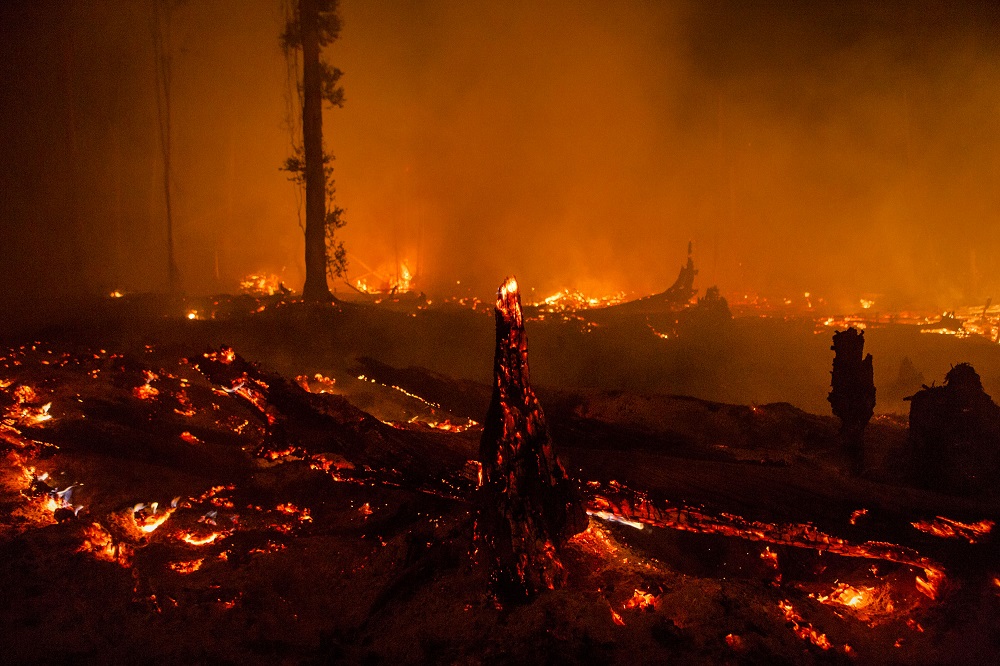
Forest fires, which we realize especially in the summer months, are actually one of the most effective and destructive ones of the natural disasters that continue throughout the year. In recent weeks, fires in the amazon forests have spread more extensively than ever before, leaving the most devastating effects of their time. Unfortunately, forest fires, which we frequently encounter in our country during this period, created serious destruction. Here is a great study of the extent of this destruction “Fire Maps”
Information is collected from the “Visible Infrared Imaging Radiometer sensor” (VIIRS) and processed with a fire detection algorithm to mark active fires. Each point on the map represents the center of the 375 m pixel marked by the algorithm. VIIRS data provides higher resolution data than active fire data from MODIS. VIIRS data has been better calibrated to detect night fires. Active fire data can be used to view and download data for the last 24 hours, 48 hours or 7 days. You can review older fire data from the NASA FIRMS website since mid-2016.


1 Comment. Leave new
Pretty cool… thanks for sharing