Do you think you know remote sensing satellites?
Think again.
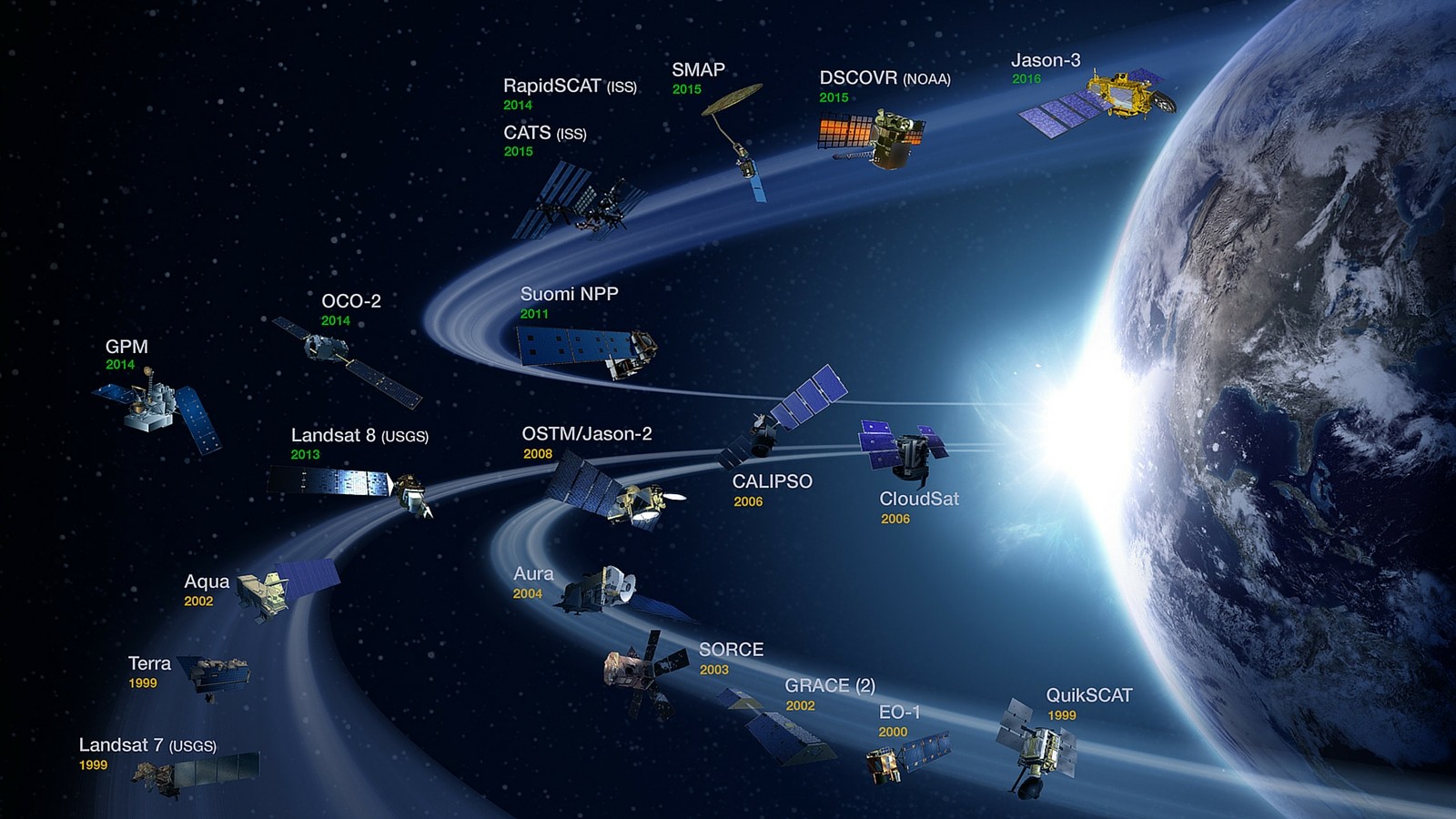
Here are the 50 most popular satellites that are quietly orbiting Earth.
From weather forecasts to precise positioning, every satellite has a purpose. Let’s take a look at these satellites together that make our lives easier!
When you enable location on your smartphone, you’re tapping into GNSS. Every day, our GPS receivers leverage the 35-satellite system to pinpoint our exact position on Earth
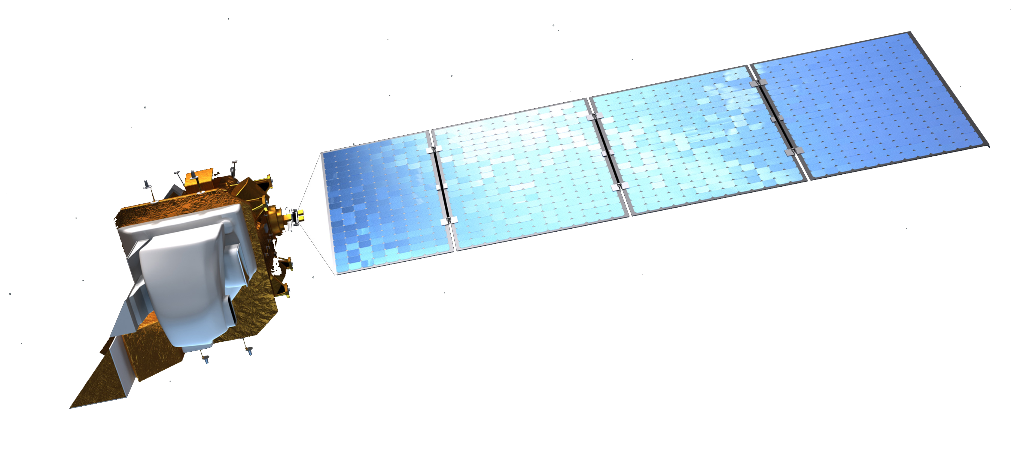
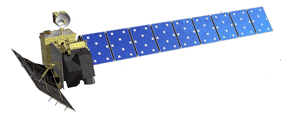
Landsat’s incredible long-lived legacy has archived Earth’s history for over 40 years. With countless applications, it even found the island Landsat in Canada..
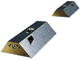
Legacy Satellite CNES, Airbus Defense & Space
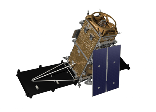
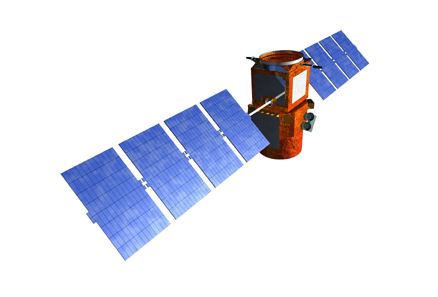
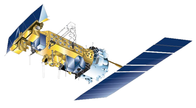
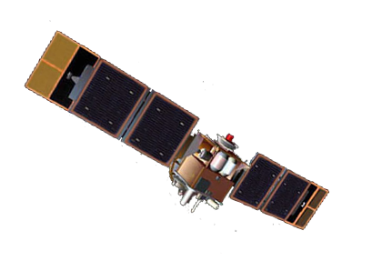
In 1986, France’s SPOT-1 satellite was cutting edge. Since then, it has captured Earth’s vegetation, elevation and even the Chernobyl disaster.i.
TRMM examines at cloud structure and precipitation mostly at the equator. Because of TRMM, scientists can better predict global energy balances, water cycles and El Niño.
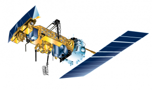
GOES knows weather. Since 1975, this geostationary squad of satellites are unsung heroes in forecasting our planet’s weather.
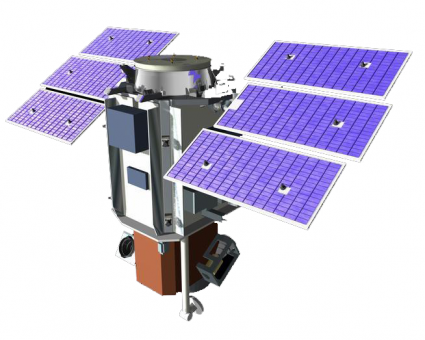
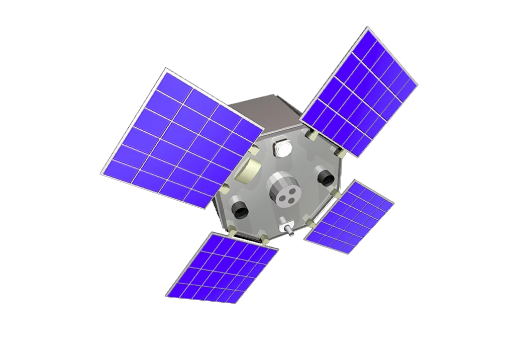
This satellite tag team chases each other in the same orbit. By measuring each other’s tiny shifts, they know where gravity pull is stronger on Earth.
As part of NASA’S multi-talented A-Train fleet, Terra is the jack-of-all-trades For example, ASTER models terrain, MODIS classifies land cover and MOPITT monitors air quality.
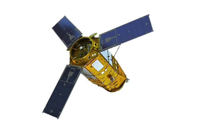
Before losing contact in 2012, EnviSAT did it all. For instance, it studied the oceans, terrain and atmosphere. But now, it’s not operational. Because of its massive frame (8 tons), it is a candidate to be removed from orbit.
NOAA satellites enable us to get a complete view of weather and environmental conditions around the world each day.
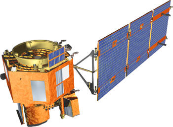
ALOS-1 sculpted the world’s most precise elevation model at 5-meter resolution. Now, ALOS-2 has several upgrades such as L-band PALSAR radar and stereo mapping (PRISM).
Image Credit: JAXA
Radarsat-2 is Canada’s space radar monitoring mission. As part of the Radarsat Constellation Mission, 3 C-band satellites will hone in on the Great White North’s land mass.
Image Credit: © Canadian Space Agency
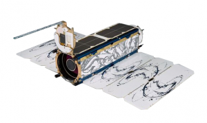
Planetscope is low cost, light weight and low orbit from the company called Planet. This orchestra of micro satellites (nicknamed doves) orbit the Earth in concert scanning at 3-5 meter resolution images.
Meteosat is the geostationary observer in Europe and Africa. By beaming images of Europe’s weather every 15 minutes, it’s ideal for weather forecasting.
Image Credit: ESA

As part of the Copernicus Programme, Sentinel’s fleet of 6 missions is a game changer. Specifically, Sentinel-2 is a clear upgrade to Landsat, except that it’s missing the thermal band.
Image Credit: ESA
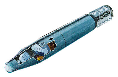
The Corona satellite was a strategic, James Bond-style military satellite in the 1960s that spied on the Soviet Union. But now, archaeologists and other interest groups freely use these declassified images.
Image Credit: National Reconnaissance Office
IKONOS was a satellite marvel in its time. In fact, it was the first commercial satellite that was granted a license in America. But IKONOS-1 never made it to space. IKONOS-2 did and was renamed IKONOS.
Image courtesy © 2019 DigitalGlobe
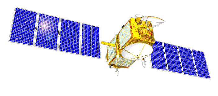
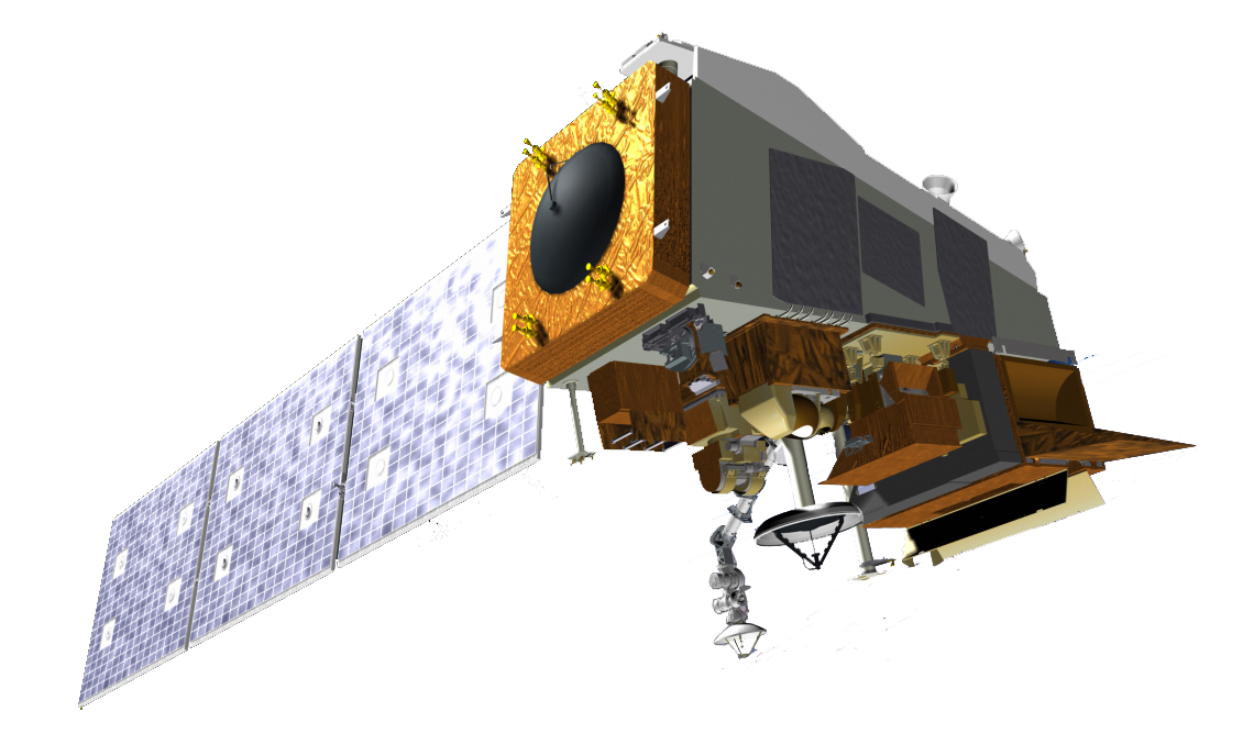
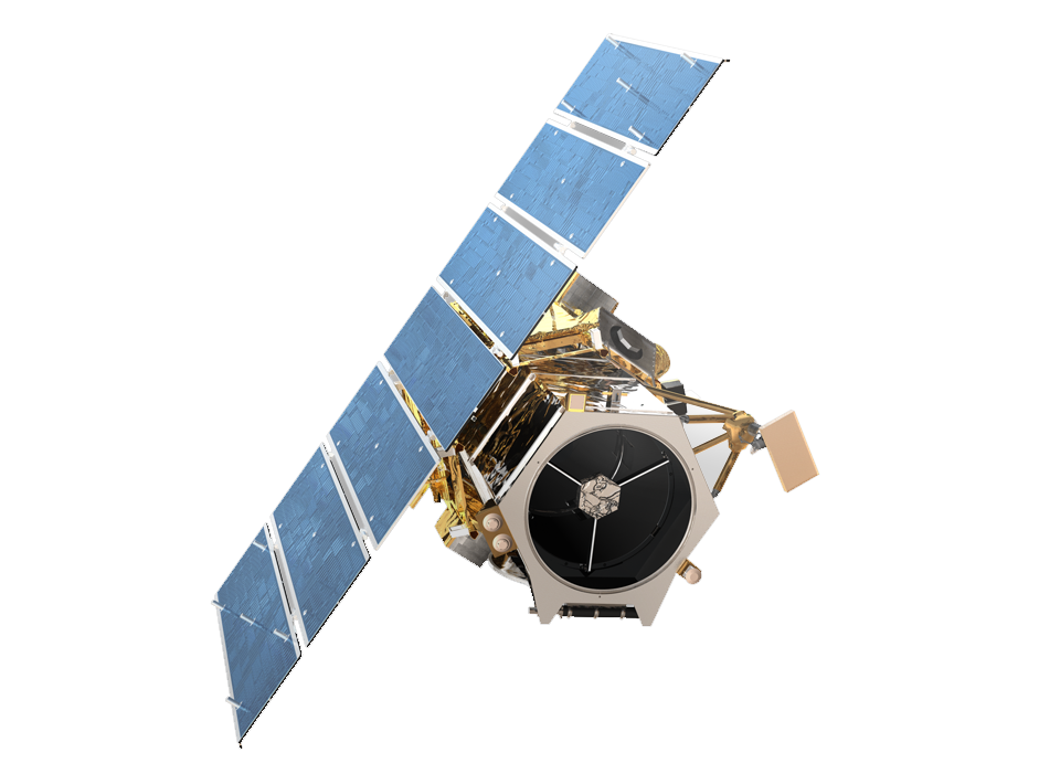
TerraSAR and TanDEM-X are twin German satellites. In tandem, they carved out the unrivalled WorldDEM using X-band radar. Now, we use it for disasters, earthquakes and the environment.
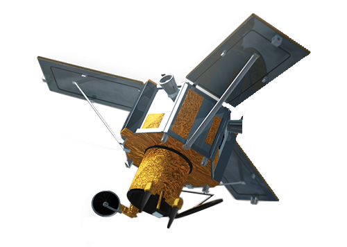
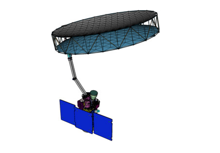
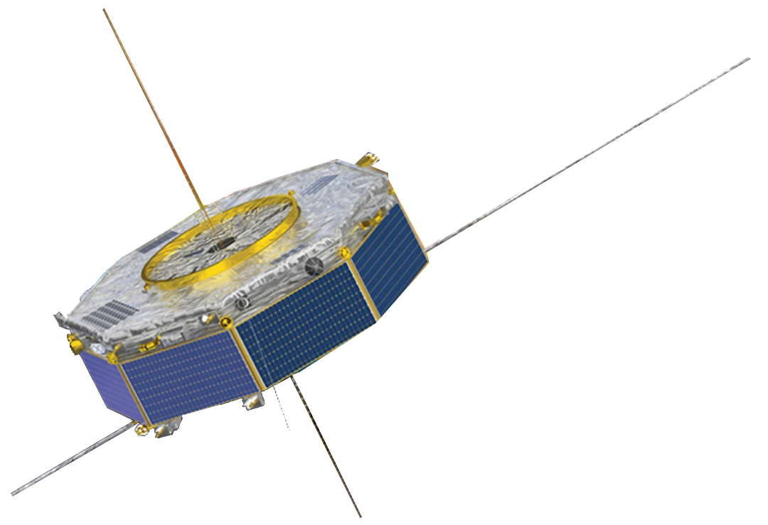
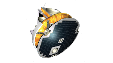
GOCE specializes in measuring Earth’s gravity field and ocean behavior with unprecedented detail. By using highly sensitive gradiometers and accelerometers, it accomplishes this feat.
Image Courtesy of ESA/Airbus & Defense

DigitalGlobe’s cutting-edge high resolution satellite is ridiculously crisp (31 cm). Worldview imagery is so sharp that you can almost see license plates. In fact, it’s the only commercial satellite that can deliver at this resolution.
Image courtesy © 2019 DigitalGlobe
QuickBird is versatile and cost effective delivering optical imagery at 60cm. But in 2015, it was decommissioned and no longer serves the community.
Image courtesy © 2019 DigitalGlobe
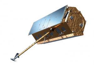
SMOS weighs in on soil moisture and ocean salinity through its coarse passive instrumentation. Overall, it enhances our knowledge of both land and ocean processes.
Image Credit: ESA
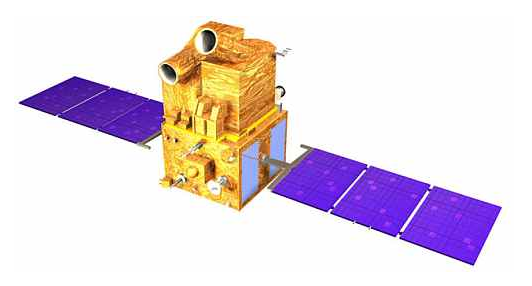
China and Brazil unite in a joint quintuple mission to monitor everything from agriculture, environment, water pollution and urban planning in their respective countries.
Image Credit: CBERS/INPE
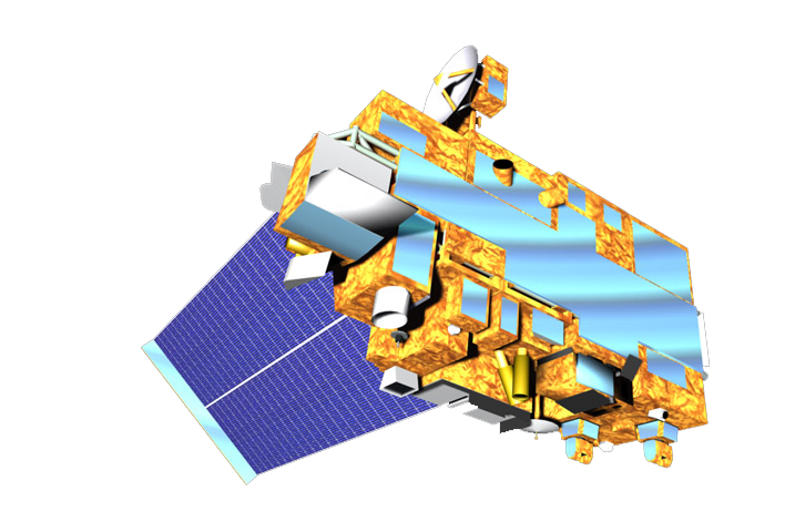
Aqua is NASA’s multi-purpose satellite. Not only does it tap into Earth’s water cycle by measuring relative humidity (AIRS/AMSU), but it estimates cloud height (CERES) and energy flux (AMSR-E).
Image Credit: NASA
Using laser technology and a special sensor for cirrus cloud, CALIPSO graphs the vertical profiles of cloud structure.
Image Credit: NASA
China and Brazil unite in a joint quintuple mission to monitor everything from agriculture, environment, water pollution and urban planning in their respective countries.
Image Credit: CBERS/INPE
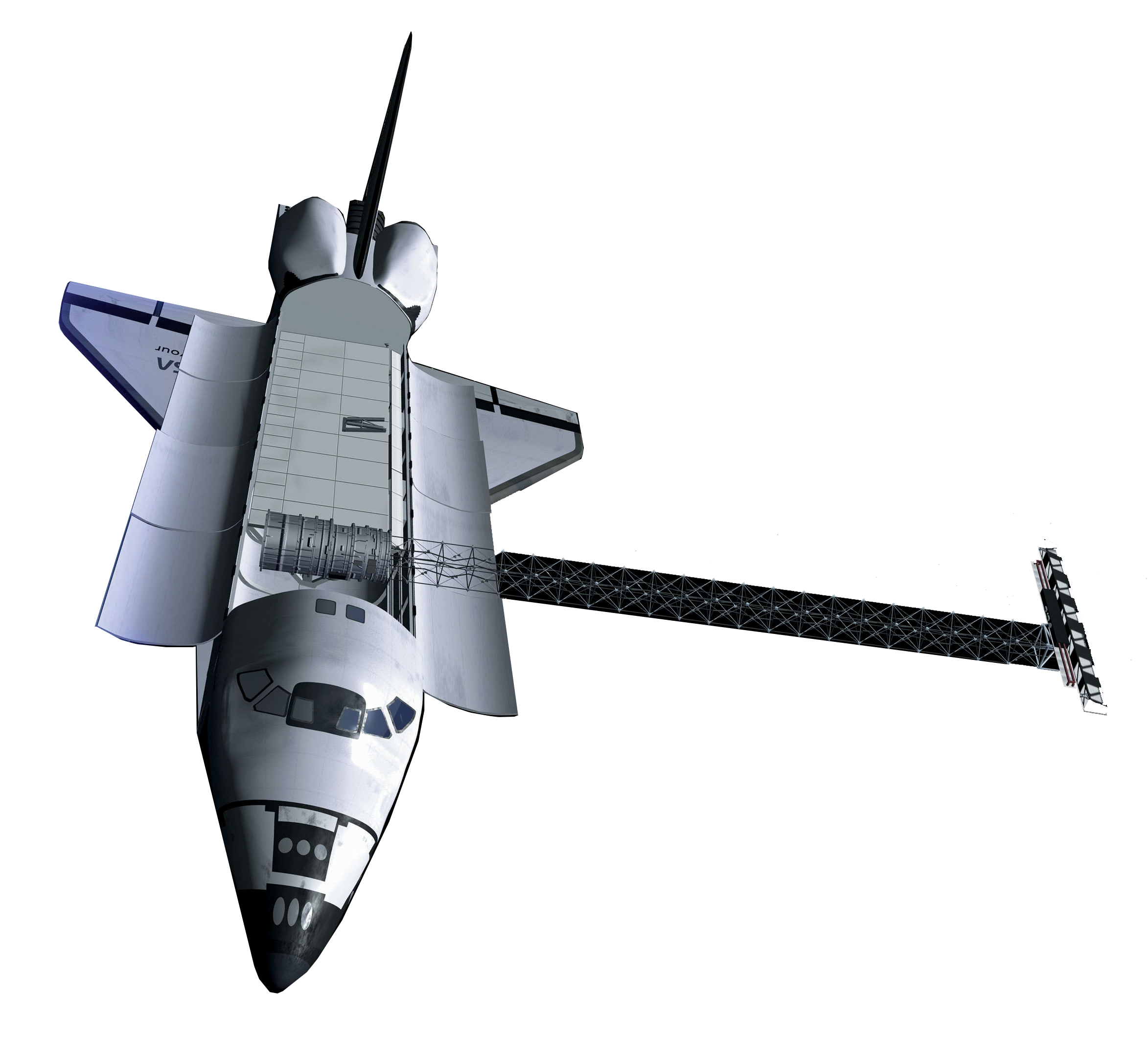
SRTM sculpted a 30-meter terrain model of Earth using two radar antennas and interferometry. Onboard the space shuttle Endeavour, it only needed 11 days to collect the necessary data.
Image Credit: NASA/JPL
Ice Sat has made over 904 million measurements of the Earth’s surface. In fact, it was the first space-borne laser altimeter (GLAS) to capture everything from forest heights to ice thickness.
Image Credit: NASA/JPL-Caltech
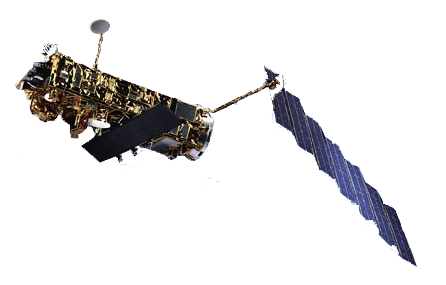
In the 1960s, TIROS was instrumental in sending early storm warnings. Specifically, this low-Earth orbiting satellite was built for televising infrared weather observations.
Image Credit: NASA
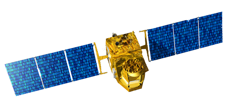
JASON’s altimeter is responsible for mapping ocean floor bathymetry. This upgraded version of TOPEX/Poseidon monitors rising sea levels, which is a by-product of climate change.
Image Credit: NASA
TRMM examines at cloud structure and precipitation mostly at the equator. Because of TRMM, scientists can better predict global energy balances, water cycles and El Niño.
Image Credit: NASA
Aura is NASA’s satellite dedicated to uncovering air quality and climate health. For example, its 4 instruments (HIRDLS, MLS, OMI & TES) measure trace gases, temperature, and aerosols in the upper atmosphere.
Image Credit: NASA
Also known as Arirang, this optical satellite provides 1-meter resolution imagery. It’s rumored to monitor North Korean military activities. But it’s also available for commercial purposes.
Image copyright © Korean Aerospace Research Institute KARI
PROBA is a micro, cube-looking satellite with 30-meter hyperspectral data. Using its dextrous viewing angles, the PROBA satellite produced the world-renowned global vegetation archive.
Image Credit: ESA
The goal of Earth Observing 1 (EO-1) was to propel science and innovation through experimental instrumentation. For example, Hyperion produces 220 spectral bands which enabled us to better characterized minerals.
Image Credit: NASA
RapidEye originated in Germany. Then, BlackBridge purchased it. Now, it’s owned by Planet. Despite several owners, this 5-satellite constellation provides 5-meter resolution anywhere at least daily.
SMAP is equipped with a pair of active and passive sensors to measure fine-scale global soil moisture. Due to a sensor malfunction, it’s all passive similar to SMOS.
Image Credit: NASA
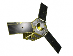
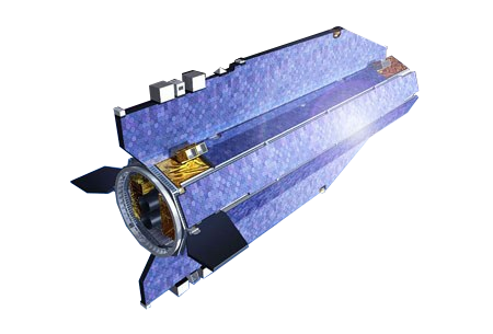
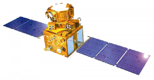
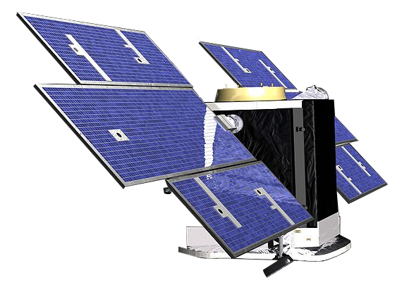
Pleiades consists of 2 nimble satellites operating in the same orbit. With incredible detail (2-meter), it can scan the Earth in any direction
Image Courtesy of ESA/Airbus & Defense
(Image Courtesy of ESA/Airbus & Defense;)
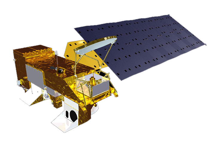
Suomi orbits the poles for the purpose of weather forecasting, land and ocean studies. Throughout history, it’s captured views of monstrous tornadoes and supercells.
Image Credit: Copyright © NOAA
The Indian cartography series of commercial satellites collect land information with multispectral, panchromatic and stereo mapping capabilities.
Image Copyright © ISRO
Google’s high-resolution (1.65-meter) imaging satellite is so sharp that ecologists have used it to track animal population. There’s no coincidence that it’s also used in Google Maps.
Image courtesy © 2017 DigitalGlobe
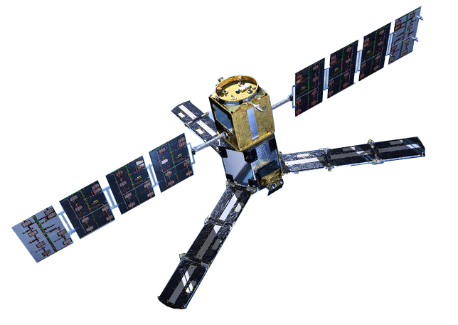
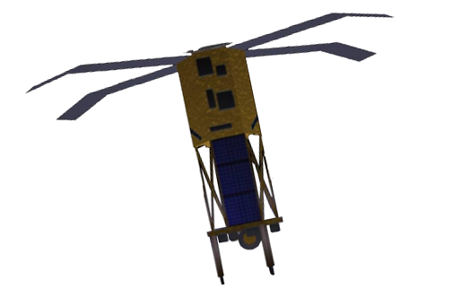
MMS specializes in the magnetosphere. In a tetrahedral formation, it consists of four identical space crafts. In unison, they map the interaction between the sun and Earth’s magnetic field.
Image Credit: NASA
DMC masters disaster monitoring with its highly responsive, humanitarian constellation. It consists of AISAT-1, BilSAT, NigeriaSAT, UK-DMC, Beijing-1, Deimos-1 and NigeriaSAT.
NOAA’s polar-orbiting meteorological satellite has taken some of the mystery out of atmospheric phenomena with high spatial and temporal resolution images.
MOLA is the reigning monarch of Mars. By scanning the topography, this interplanetary mission has found ancient river beds weaving through the Martian surface.
Image Credit: NASA
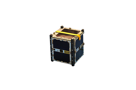
SciSAT creeps through the shadows of Earth. Only on the dark side of Earth, it can record the depletion of ozone. That’s why it’s nicknamed the nightcrawler satellite.
Image Credit: Canadian Space Agency
Biologists uses SeaStar to quantify color change from chlorophyll produced by marine plants. Like Sea-Viewing Wide Field-of-View Sensor (SeaWIFS), it’s key for ocean biology.
Image Credit: NASA

Surfers choose QuickSCAT because it’s purpose is to measure sea winds and direction. But only for ice-free oceans does its scatterometer work for.
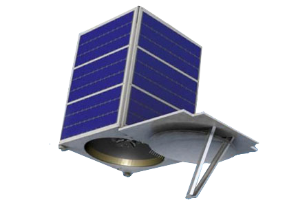
SkySat is the type of gadget James Bond uses to spy on super-villains. In fact, it’s the first and only capable of capturing video footage at sub-meter resolution.
Copyright © SkyBox Imaging. All rights reserved.
The solar-monitoring ACRIMSAT performed experimental studies for solar irradiance. In fact, it recorded a 0.1% reduction in solar intensity caused by the Venus shadow in 2004.
Image Credit: NASA/JPL
Megha-Trophique will cruise the tropics to better understand the global water cycle. As part of the Global Energy and Water Cycle Experiment (GEWEX), it aims to study climate change.
Image Credit: ESA
Source: https://gisgeography.com/satellite-list/