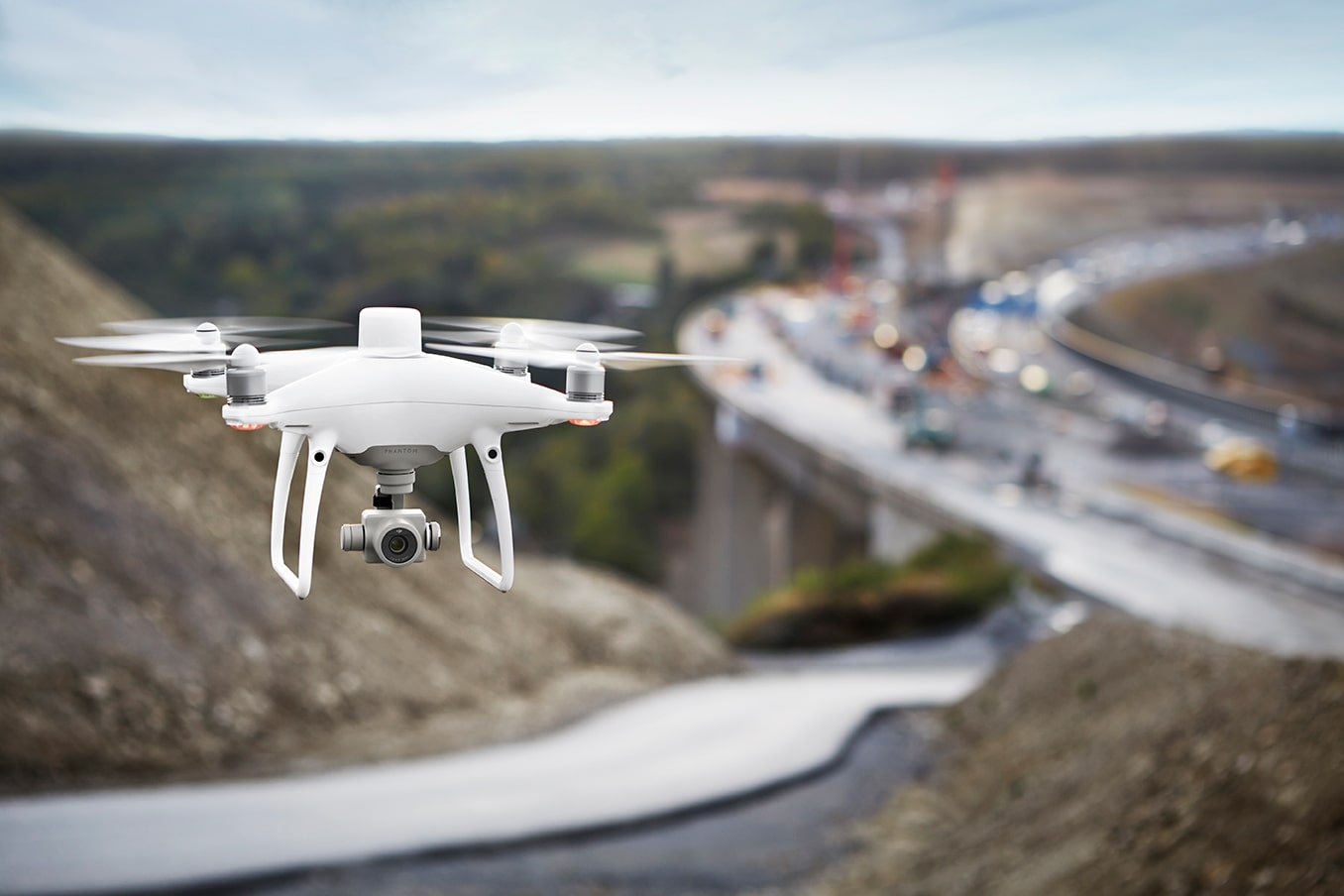
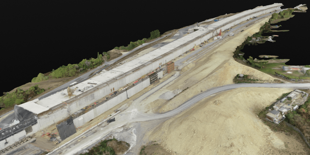
Last week we were in Frankfurt to attend Intergeo 2018, the most important fair of the mapping industry. As a special guest of DJI team, we participated in the promotion meeting of new products. It was expected and eventually DJI unveiled the phantom 4 RTK, a product that could play a more active role in engineering solutions. As the name suggests, this device is a new member of the Phantom 4, which we are all familiar with. Now let’s take a look at the features of the new Phantom 4 RTK without any more curiosity. Centimeter Level Positioning System The DJI Phantom 4 RTK features a built-in precision RTK navigation positioning system and a high-performance imaging system.
With the RTK positioning module (GPS L1 L2, GLONASS L1 L2, Galileo E1 E5a and BeiDou B1 B2), it does not need a ground control point, which saves time. Combining both modules, the Phantom 4 RTK provides the most accurate data for complex measurement, mapping and inspection workflows, while optimizing flight safety.
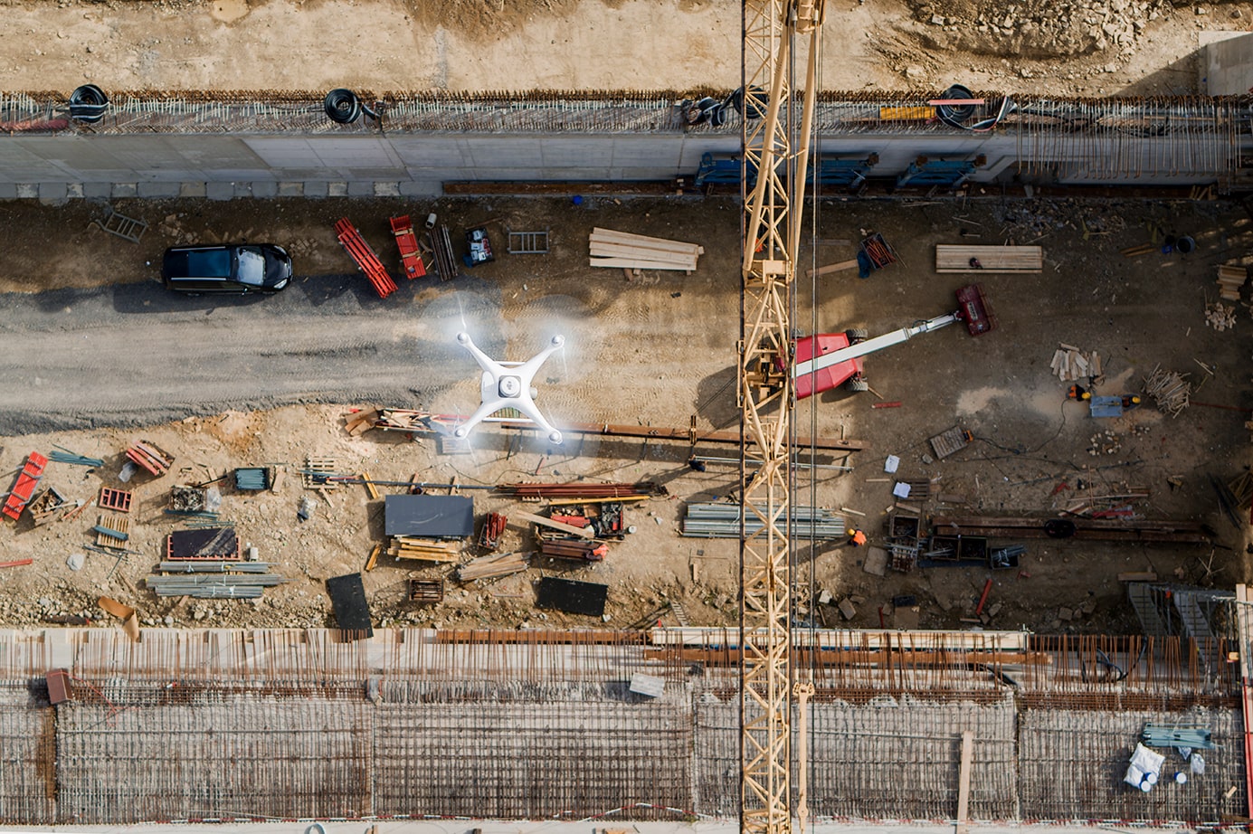
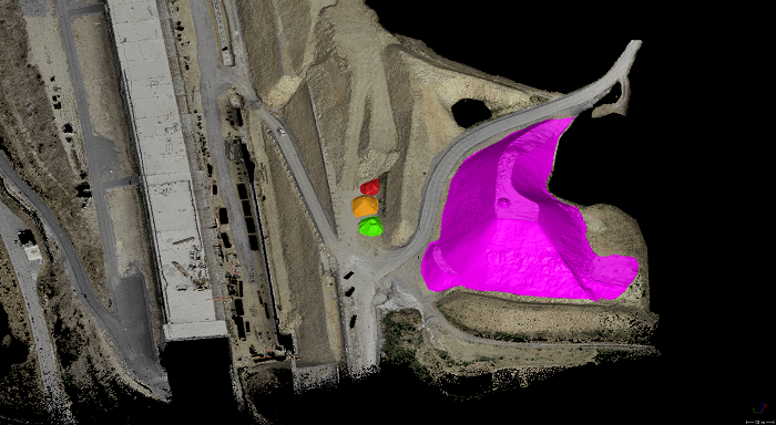
The RTK module can provide 1 cm + 1 ppm (horizontal), 1.5 cm + 1 ppm (vertical) positioning accuracy, and the Phantom 4 RTK can achieve 5 cm absolute horizontal accuracy of the photogrammetric models.
Using 4G or WiFi, it can be integrated into any workflow that can connect the positioning system to the D-RTK 2 Mobile Station via NTRIP (RTCM Network Transfer over Internet Protocol).
Collect Accurate Data with TimeSync
To take full advantage of the Phantom 4 RTK’s positioning modules, the new TimeSync system continuously monitors the flight controller, camera and RTK module. In addition, TimeSync stores the Phantom 4 RTK’s factory-set lens parameters along with each position, height, and other data, mapping the positioning data to the center of the camera’s CMOS sensor.
Precision Imaging System
The device is equipped with a 1-inch 20-megapixel CMOS sensor. The high resolution of the Phantom 4 Pro RTK, it can achieve a Ground Sampling Distance (GSD) of 2.74 cm at a flight height of 100 meters. In areas without RTK coverage, DJI Phantom 4 RTK allows the use of Post Processed Kinematics (PPK). The device captures the original satellite observation data as well as ephemeris data and saves it in a PPKRAW.bin file in RTCM 3.2. In addition, Phantom 4 RTK instantly converts satellite data to the RINEX format (Receiver Independent Exchange Format) and writes the data to a RINEX.obs file. Thanks to the internal synchronization of the GNSS position and the camera, Timestamp.
Provides precise recording of MRK file. All these data are stored on a Micro-SD card. Safer, Smarter and More Balanced Flight Phantom 4 RTK’s OcuSync video transmission system provides a fixed connection between the drone and remote control. It offers 720p video streaming for larger work areas up to 7 km away.
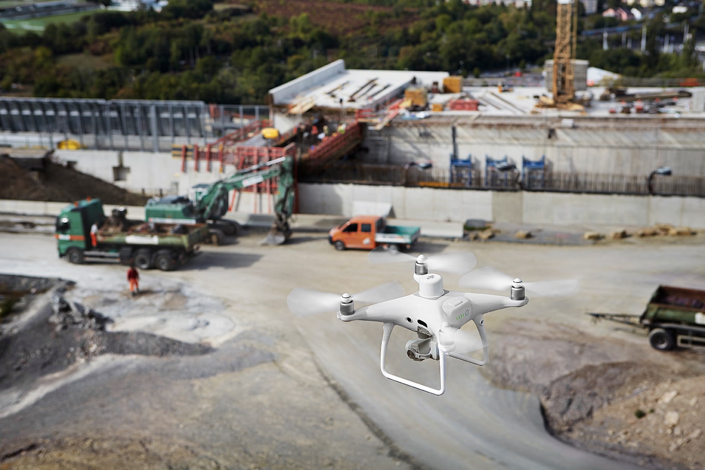
The flight time of up to 30 minutes may end before the work is completed, but even if the pilots stop the task to replace the batteries, the drone will automatically resume after the battery has been replaced.
Mobile SDK Supported
Phantom 4 RTK is compatible with the DJI Mobile SDK, which opens automation and personalization functions via a mobile device.
Flight Planning Application
A new GS RTK application allows pilots to intelligently control the Phantom 4 RTK with two more planning modes (Photogrammetry and Waypoint Flight) as well as a more traditional flight mode. Planning modes provide automatic mapping or review by allowing pilots to select the flight path of the drone by adjusting flight speed, altitude, speed, camera parameters, and more. It allows teams to monitor the progress of fieldwork and collect the same data at different periods.
More informations click here