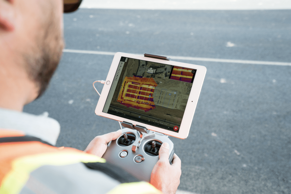
DroneDeploy, a photogrammetric map production platform, has made a name for itself in the sector with its latest work. “Thermal Live Map” instant (real-time) thermal map production (Note: Live Map feature can be adapted to your standard work)

High-resolution thermal imagers make it possible to see beyond the visible spectrum and detect temperature differences. In this way, problems such as construction, agriculture, solar and roof industries can be detected with the naked eye. However, it took hours or days to collect and analyze data from thermal drone images. With Thermal Live Map, you can make quick decisions on images from the field in real time. There’s more! You can work without a computer, SD card or even internet connection.
Here are a few solutions
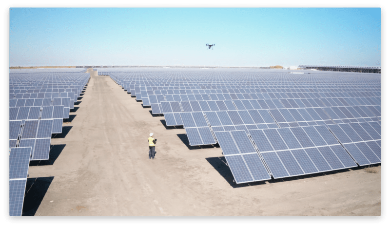
Solar panels often overheat, go offline, or require maintenance due to excessive dust, scratches or mechanical deficiencies. Aerial snapshots of them can make the difference. With a thermal live map, it can quickly detect damaged solar panel cells in the sky. With Thermal Live Map, it allows the operator to isolate and measure potentially problematic areas during a drone flight on a solar farm.
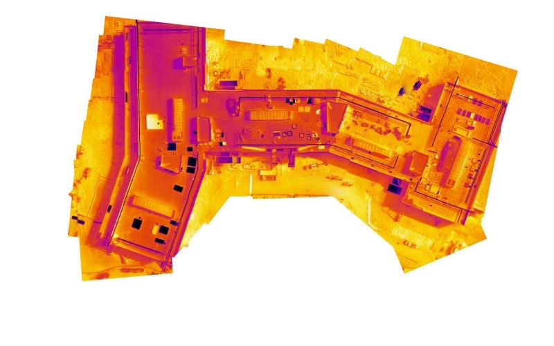
Building and roof inspections are very dangerous and can take hours to identify problem areas. Now drones make this job safer. Workers no longer have to climb a roof or a dangerous area to investigate problems. Problem areas such as thermal live maps, cracks, leaks, and structural damage are detected within minutes and security risks are minimized. It also allows companies to prevent catastrophes in the field and ultimately save lives.
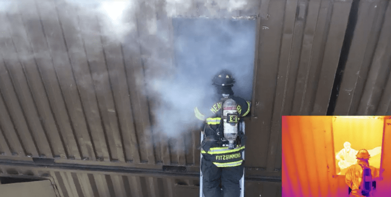
It visualizes difficult-to-reach terrain where missing or injured persons expect to recover in difficult-to-access areas. The new solution is also particularly valuable for fire fighting. It also helps to locate exactly where the fire is at its hottest.
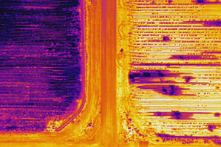
You can easily identify irrigation problems, analyze production sites, eliminate problem areas slowly, and avoid harvest loss.
For more details, click here