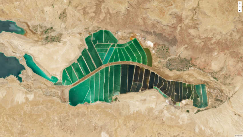
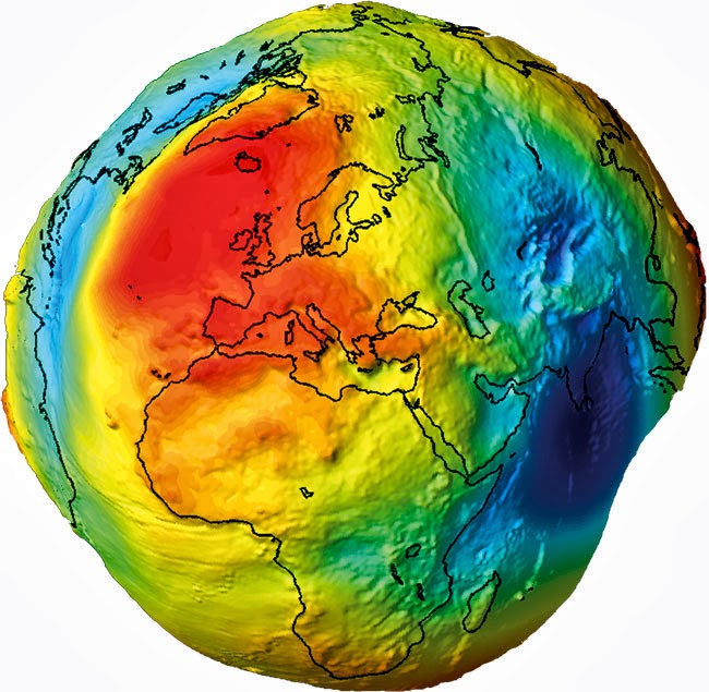
It is difficult to understand how a very complex surface, such as the earth, is placed on a flat surface. After reading this article, it will be easier to recognize the map projections ranging from daily life to professional studies. If you want to show 3D data on the map on Earth, you’ll need a map projection that determines how to place latitudes and longitudes to maintain some map features. But this is only possible through a series of more complex mathematical transformations than we thought. If you want to have the most accurate map, you’ll have to carry a world-renowned ‘geoite’ with excellent accuracy, printed in 3D … and it looks like a potato …
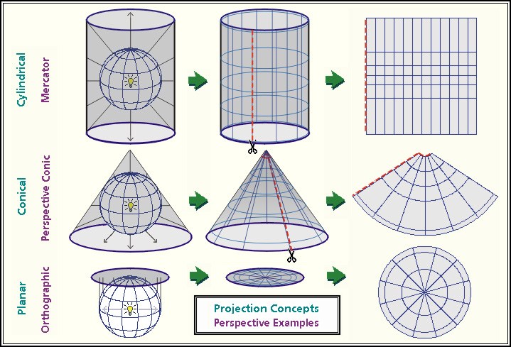
1.Projection Briefly methods of describing the properties of a spherical surface in a flat plane. These methods The basic views of cylindrical, conical and planar projection methods are as follows;
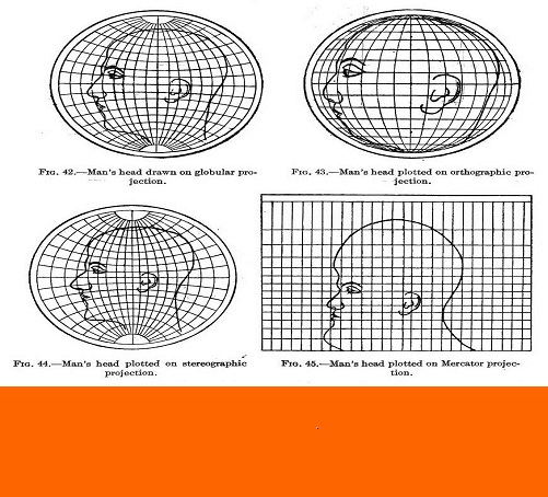
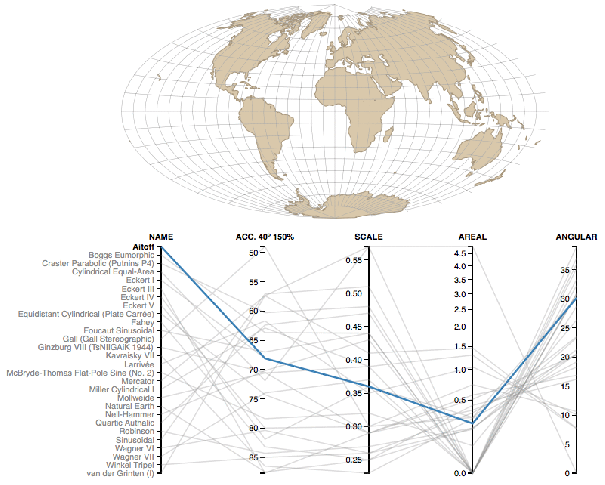
2. Projections cannot work with 100% accuracy principle. See what happens when a person wants to be transferred to the projection. Globular, orthographic, stereographic and mercator respectively.

3. In this image where the projections are compared, you can see how serious the differences are.
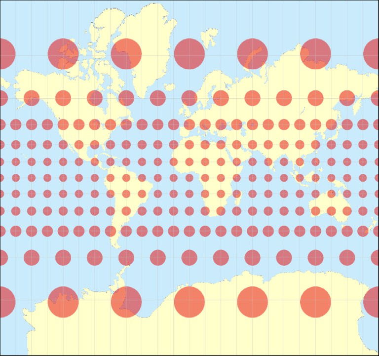
4. The widely used Mercator projection has serious errors in the north and south directions, but it is widely used in the maritime sector, since it is more angularly positioned than the others, Mercator does not maintain projection distances; so you know you’re in the right direction, but you don’t know how long it will take to reach your destination …
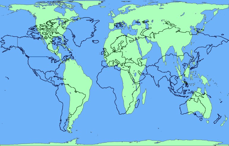
5. Finally, we can say that the way our Earth knows from Google Maps is definitely a lie. Here are some projection facts: Africa is the second largest continent after Asia. Australia is the size of Europe. Scandinavian country is a small land. And Greenland is not as big as South America. (Mercator projection (black lines) and Gall-Peters projection (green shapes))
“Content and images are taken from Aleks Buczkowski ,Geoawesomeness.”