LIDAR system, which stands for “Light Detection and Ranging”, means that it sends out a light signal and waits for the signal to return. “LiDAR” is basically a remote sensing method that uses laser or light for measuring. In the mapping industry, although complex objects or areas cannot be measured, it is very much involved in classical construction stages.
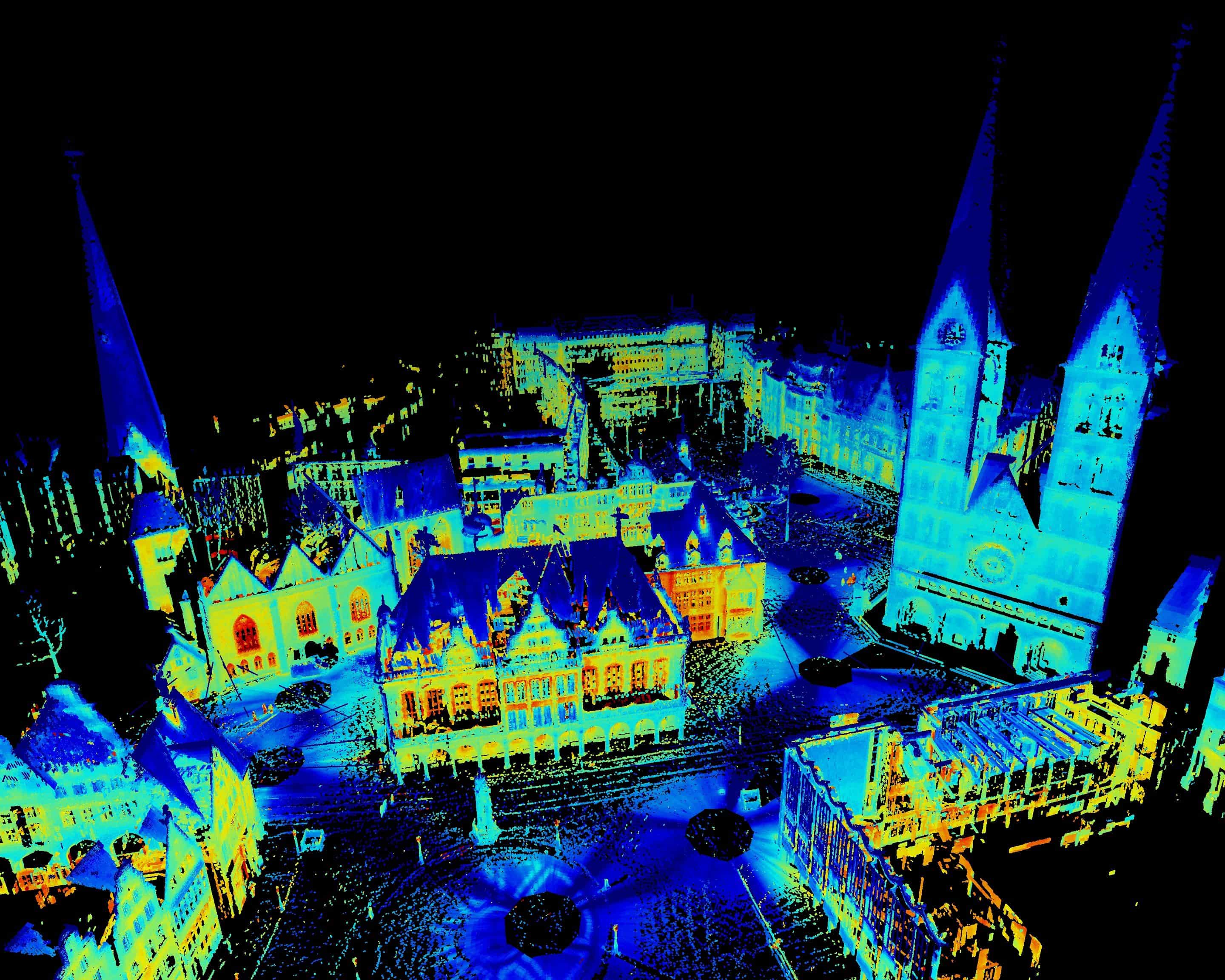
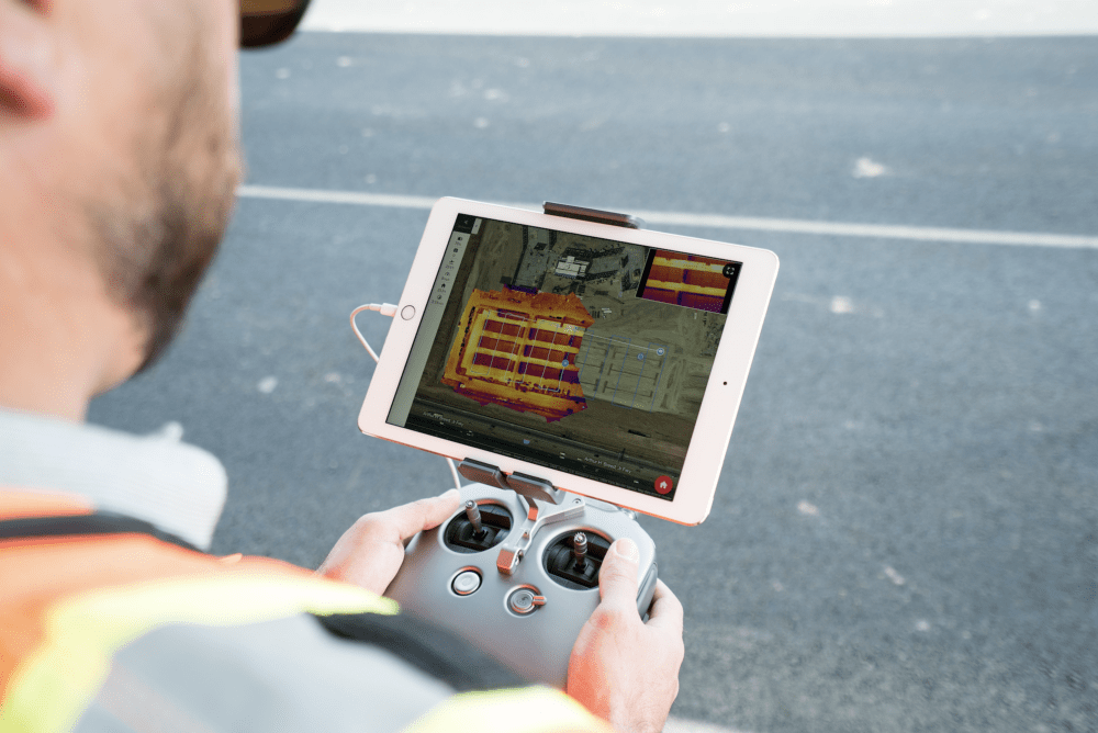
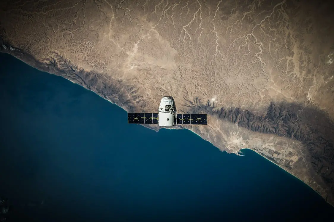
This technology uses light to detect objects to create a digital point cloud. Installation of this technology is usually equipped with an airplane, drone, or helicopter. It is transmits laser beams that are repeatedly pulsed, or shot, in various directions in a given environment. Once these lasers meet a surface and return to the sensor, data points are logged. These points combine with GPS data as well as (IMU) or inertial measurement to generate a point cloud. After that, a number of products can be produced by professionals including 3D models that can be rendered to reflect the scanned environment. The takeaway, it uses light for remote sensing.
You can also read:Do you know how many types of LiDAR are there?
This NEON Science video explains how this technology works.