 SurveyingGroup with official media sponsorship Map professionals will be able to visit INTERGEO’18, the world’s # 1 event for free! INTERGEO 2018 offers an ideal opportunity to explore key issues surrounding the ever-evolving technological advances such as digital revolution, smart cities and artificial intelligence, augmented and virtual reality. Keynote speeches, panel discussions and industry-focused exhibitions will set the bright prospects for the future geographic data industry. In the case of digitalization, the question that everyone has in mind; “Where?”. In fact, the answer is simple “geographical data”. Geographical data or Geodata is an important part of almost any digitalization process and is often needed to make such processes valuable and understandable. INTERGEO host DVW (Geodesy, Geoinformation and Soil Management Association) President Professor. “Geodata plays a natural role in digitization because we live in a world where something happens all the time, Hans says Hansjörg Kutterer. “A digitalized world requires geographic data. For smart cities, it is very important that various forms of expertise data can be combined with digital geographic information to provide new findings. The data can then be used for a number of purposes, from providing services to generating estimates. For example, consider only environmental and disaster prevention tasks in city and traffic planning. As citizens’ expectations, business will fundamentally change. Only by combining geographic data, we can transform key applications in future cities into intelligent solutions. Yüksek High-resolution cameras and scanners, an important part of digitization, sensors that are increasingly attached to unmanned aircraft (UAVs) have begun to deliver large amounts of 3D data almost instantly. Exhibitors will exhibit a wide range of UAV applications for users and operators of this intelligent flight technology at the INTERAERIAL SOLUTIONS, which is part of INTERGEO.
 For Beginners,
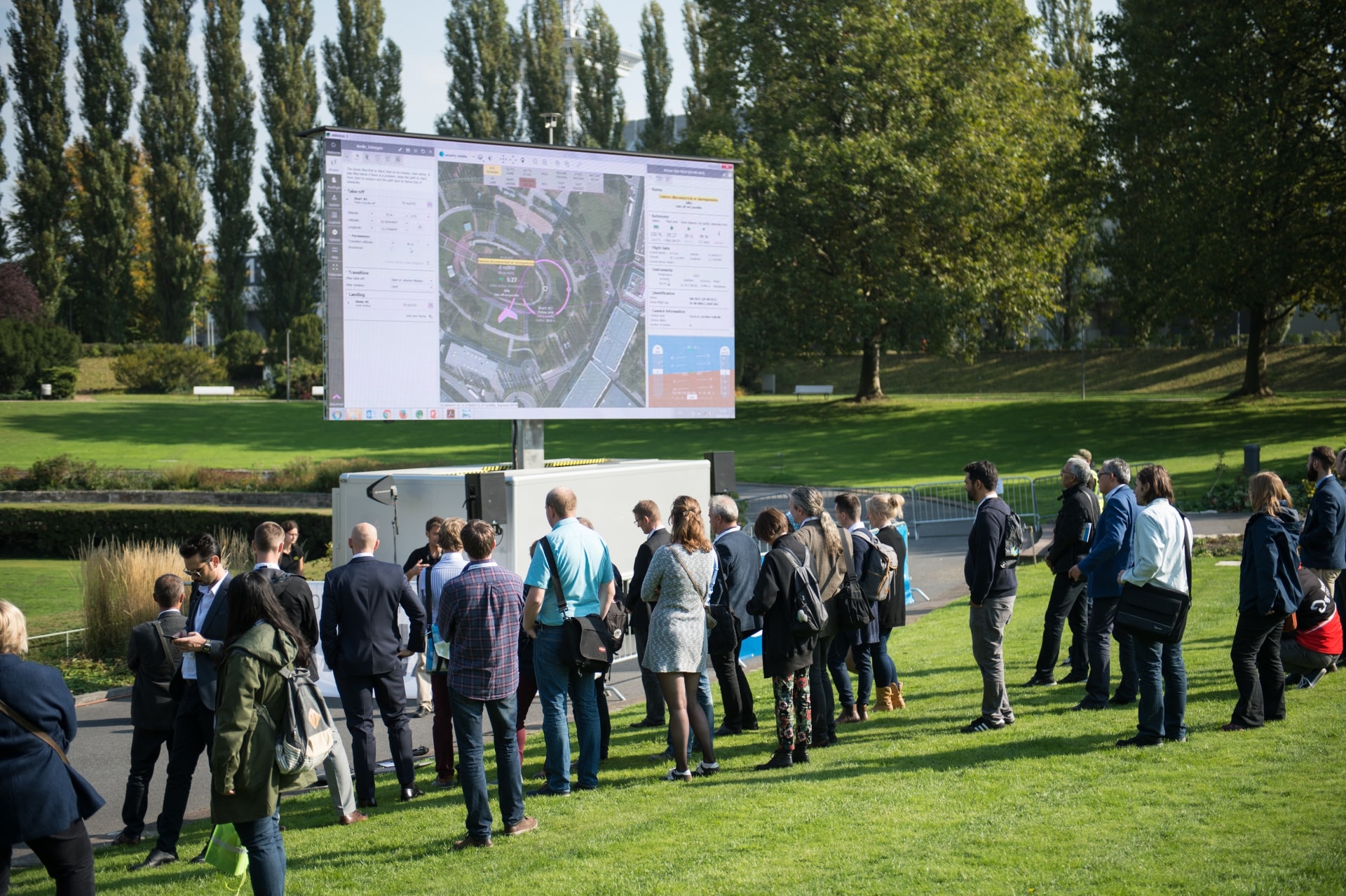
INTERGEO is the world’s largest event for geodesy, geographic information and land management, consisting of a conference and a trade fair. It is held every year in different locations in Germany. With more than 1,400 participants, the conference addresses current issues from politics, management, science and industry. In 2017, more than 18,000 visitors from more than 100 countries took part in this event. The visualization of geographic data is based on high-resolution, virtual reality (VR) applications that display state-of-the-art imaging and scanning processes. Furthermore, there are augmented reality (AR) applications that allow users to directly access location-specific data that can be seamlessly combined with geographic and region-related digital 3D imagery. Nearly 600 participants from 37 countries will show how this and more can be done at INTERGEO.
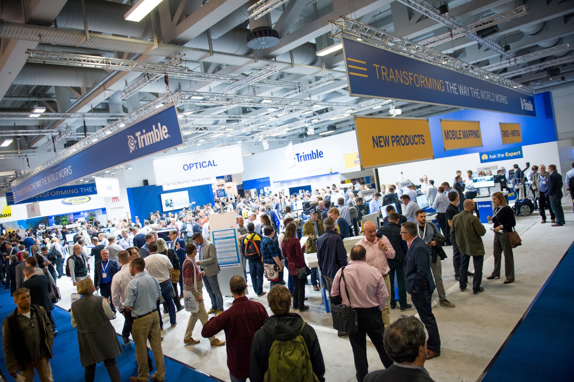
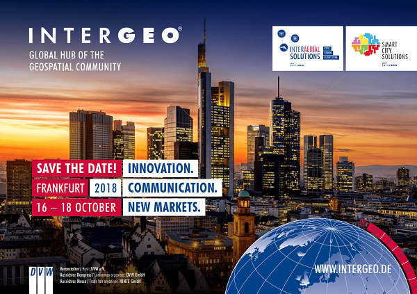
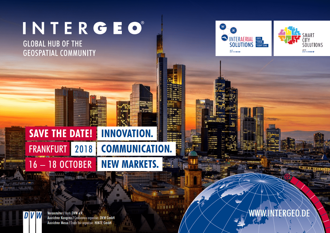
INTERGEO is the world’s largest trade fair for geodesy, geoinformation and land management, and therefore offers a fantastic platform, forum and networking opportunities. The 2018 event will take place in Frankfurt, Germany, from 16-18 October. To get your free 3-day exhibition ticket worth € 90 on your behalf;
There is also an early booking discount of up to € 50.00 for weekly conference tickets until August 19th! The SurveyingGroup family will be there! See you at our booth!