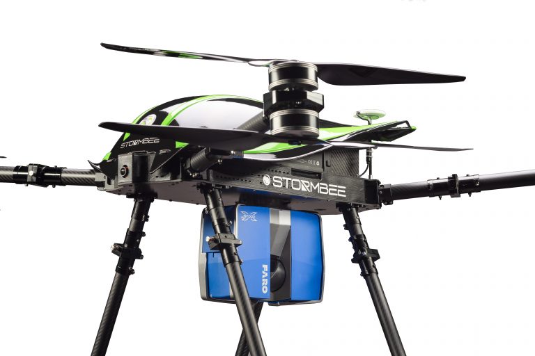
NewsEmre AKDENİZStormbee & Faro CooperationByEmre AKDENİZFARO, one of the leading companies in 3D measurement and imaging sector, has integrated its products unmanned aerial vehicle manufacturer… < 1 min read1K readsOctober 11, 2018
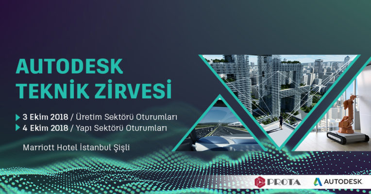
EVENTSEmre AKDENİZAUTODESK Technical SummitByEmre AKDENİZAutodesk is adding a new series of powerful events that will continue with the Autodesk Technical Summit, which will be… < 1 min read626 readsOctober 8, 2018
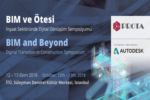
EVENTSEmre AKDENİZBIM SymposiumByEmre AKDENİZProta adds another one to its yönelik future-oriented poz symposiums, which it has traditionalized to organize every three years. The… < 1 min read759 readsOctober 8, 2018
GIS & MappingEmre AKDENİZTravel in Time with StereoscopyByEmre AKDENİZHamburg is one of the most painful German cities during World War II. The volume of the destroyed houses was… 3 min read741 readsOctober 4, 2018
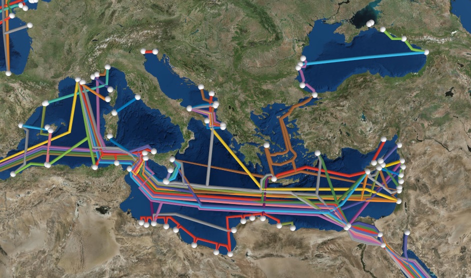
GIS & MappingEmre AKDENİZInternational Communication NetworksByEmre AKDENİZDeep in the ocean floor, you are aware of the presence of communication cables to carry signals from one land… < 1 min read657 readsSeptember 20, 2018
EVENTSEmre AKDENİZUZAL-GIS SYMPOSIUM-2018ByEmre AKDENİZThe Remote Sensing and Geographical Information Systems Symposium (UZAL-GIS) is a scientific activity that has brought together academics, public and… < 1 min read658 readsSeptember 17, 2018
GNSS SurveyEmre AKDENİZ“Positioning Technology” at the 2018 W…ByEmre AKDENİZThe most important feature of the 2018 World Cup, which we follow enthusiastically, is the use of technology. The VAR… 5 min read688 readsAugust 27, 2018
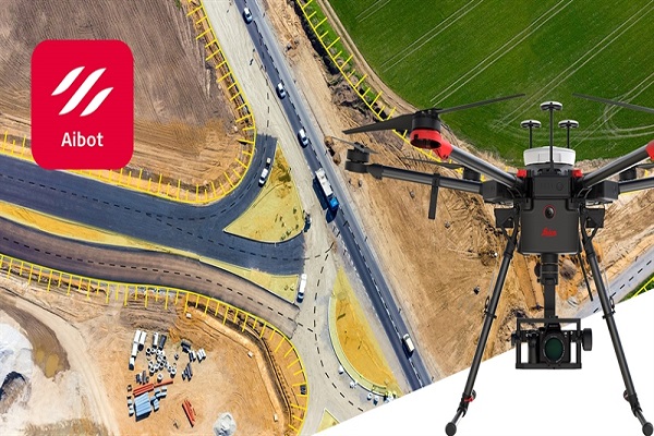
NewsEmre AKDENİZIntroducing New “Leica AIBOT” with DJI…ByEmre AKDENİZLeica Geosystem unveils the latest ansız Leica Aibot ini, the latest unmanned aircraft UAV system integrated on DJI’s aerial platform… < 1 min read914 readsAugust 13, 2018
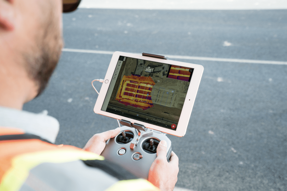
GIS & MappingEmre AKDENİZReal Time Thermal Map ProductionByEmre AKDENİZDroneDeploy, a photogrammetric map production platform, has made a name for itself in the sector with its latest work. “Thermal… 2 min read823 readsAugust 1, 2018
Digital TwinEmre AKDENİZWhy is Digital Transformation Necessary?ByEmre AKDENİZDigitalization has begun to change the basic construction of our physical world. New technologies are changing how we plan, design,… 2 min read704 readsJuly 23, 2018