EVENTS
Here you can find the upcoming events about Surveying, Mapping, Lidar, and Photogrammetry for the geospatial community.

Geo Connect Asia 2022
By
Singapore, 16th December 2021 – International events organizer Montgomery Asia announces today that flagship geospatial and location intelligence industry trade…
3 min read
301 reads

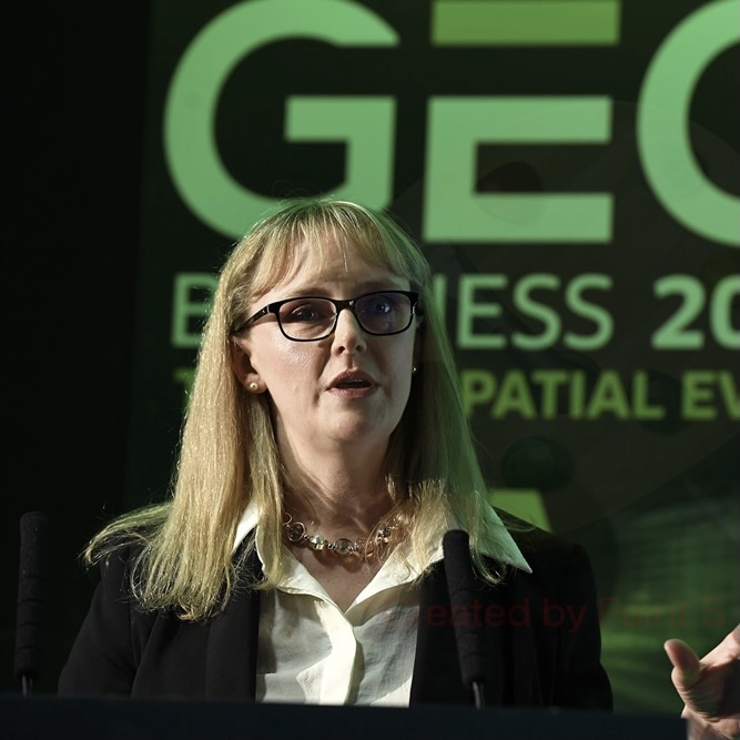
GEO Business 2021, 24-25 November at ExCeL London
By
GEO Business, the UK’s largest geospatial event, has revealed the much-anticipated speaker line up for this year’s show, which takes…
4 min read
372 reads

Building the Open Metaverse
By
A new podcast is bringing tech experts together to discuss openness in the metaverse. “Building the Open Metaverse” is the…
< 1 min read
301 reads
GEO Business 2021 Call for Speakers Deadline Exten…
By
Calling all geospatial experts! There’s still time to apply to speak at GEO Business 2021. The team behind GEO Business…
3 min read
292 reads

GEO Business virtual forum is launching
By
The team behind GEO Business has announced the launch of their new virtual forum, which will take place on 17-20…
< 1 min read
289 reads
Commercial UAV Expo Americas 2021
By
Commercial UAV Expo Americas, September 7-9, Las Vegas This event defines and showcases the global commercial UAV industry, with a…
< 1 min read
276 reads

Geo Week 2022
By
Advisory Board Set for Geo Week February 6-8, 2022 in Denver, CO 16 experts have been tapped to help craft…
4 min read
325 reads

NextGen SCADA 2021
By
Across the globe, utilities are looking to advance their grid management and control techniques. The critical infrastructure that coordinates the…
< 1 min read
283 reads

Advanced Metering Infrastructure 2021
By
The inaugural AMI virtual conference presents the opportunity to meet with like-minded AMI project directors from the major TSOs and…
< 1 min read
277 reads

Esri Geodesign Summit 2021
By
Our planet and its inhabitants are facing challenges like few times before in history—climate change, resource scarcity, and massive migrations…
< 1 min read
311 reads