News
You can find the latest breaking news about Surveying, Mapping, Lidar, and Photogrammetry for the geospatial community.
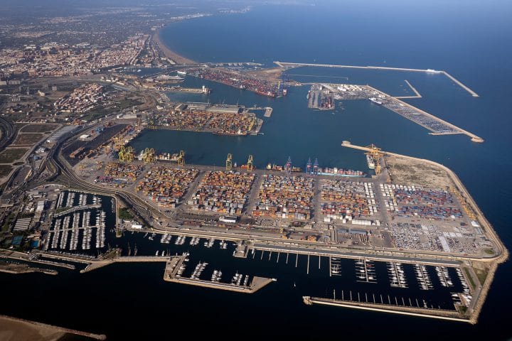
COSCO Shipping Ports Valencia And DSP Will Build A…
By
COSCO Shipping Ports (CSP) Valencia Terminal will cooperate with DSP Data and System Planning (DSP) and Talumis to build a digital…
2 min read
281 reads
Entering Geospatial Machine Learning with GeoPanda…
By
The field of artificial intelligence (AI) has progressed rapidly in recent years, matching or, in some cases, even surpassing human…
3 min read
2K reads
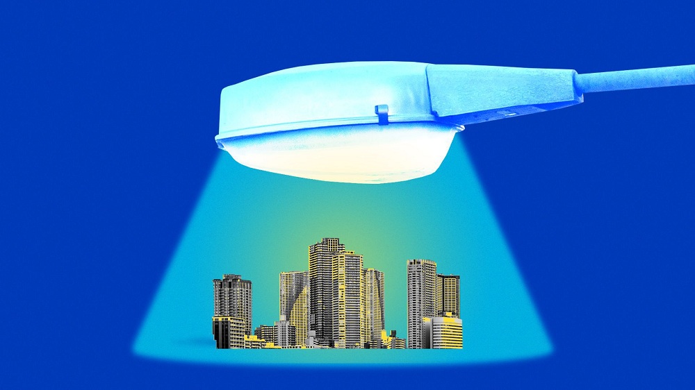
Smart Cities Together With Smart Street Lights
By
Cities are rushing to replace their legacy street lights with “smart LED fixtures” that could one day be able to…
< 1 min read
267 reads
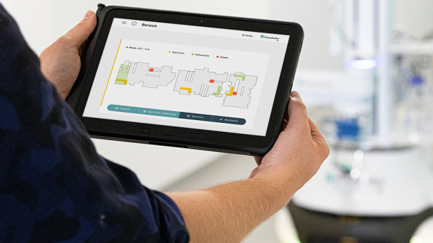
BIM and AI Integration In Combating Covid-19
By
Since October 2020, a multidisciplinary team of researchers at Fraunhofer-Gesellschaft has been working on the Mobile Disinfection (MobDi) project aimed at…
2 min read
257 reads

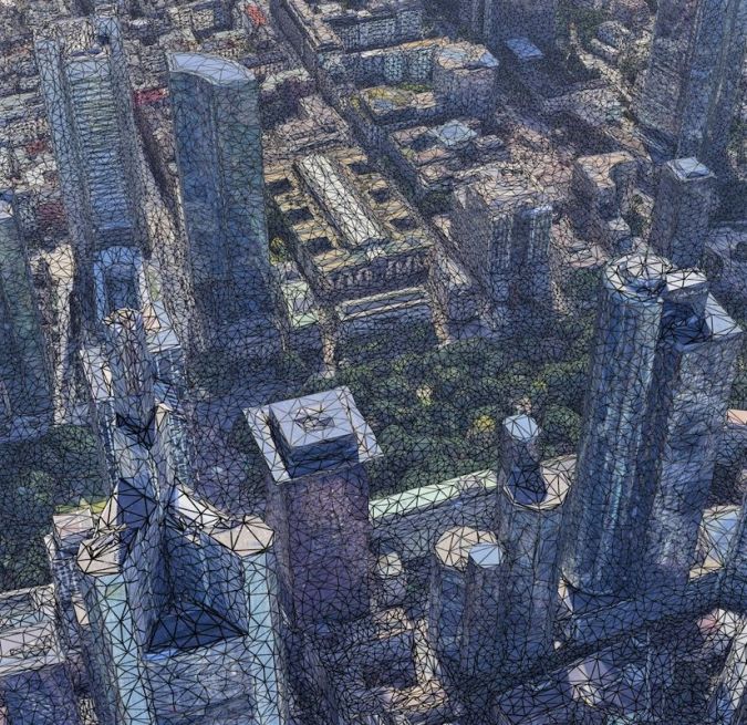
Artificial Intelligence for Smart Cities
By
Urbanization is undoubtedly one of the most fundamental trends of the past two centuries. Urbanization yields many benefits for society,…
2 min read
392 reads
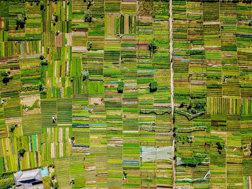
3 Examples of Using Point Cloud in Smart Cities
By
In the smart city concept, information and communication technology (ICT) is fully exploited to increase the efficiency of mobility, retail,…
3 min read
623 reads

Spatial Analysis in Biotech
By
There is no doubt that one industry that we have come to depend on is the biotech industry. While this…
2 min read
371 reads
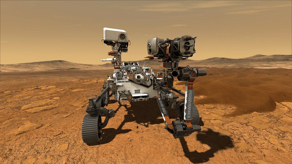
Choosing the Landing Site of the Mars Perseverance…
By
Mars 2020 is a Mars rover mission by NASA’s Mars Exploration Program that includes the rover Perseverance and the small robotic helicopter Ingenuity. Mars 2020 was launched from Earth…
3 min read
654 reads

Smart Cities and Their Digital Assets
By
What is the development benefit of the smart city for the city in the future? This is a problem worthy…
3 min read
386 reads
7 Benefits of Using Remote Sensing & GIS in A…
By
Remote sensing and Geographic Information System (GIS) technologies are commonly used for real-time analysis and forecasts of weather, floods, and…
3 min read
3K reads


