GIS & Mapping
Your source for all things GIS and Mapping, including breaking news, updates, guides, tactics, tips, trends, equipments, softwares and more!
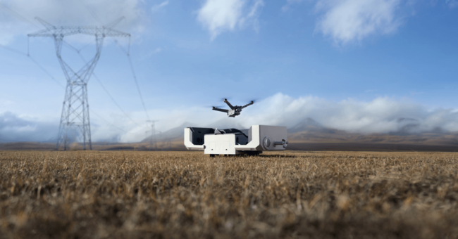
DJI Dock 2 The Next Generation “Drone in a B…
By
DJI, renowned as a pioneer in civil drones and camera technology, is once again proving its reputation with the introduction…
< 1 min read
134 reads

What Is a 3d Monitor? Everything You Need to Know…
By
Today I’m going to show you exactly what is a 3d monitor and everything you need to know before buying…
6 min read
283 reads

How to Get High-Accuracy on Drone Mapping
By
For all of us as a surveyor, accuracy is very important in drone mapping, photogrammetry, and aerial surveying. While GPS…
6 min read
275 reads
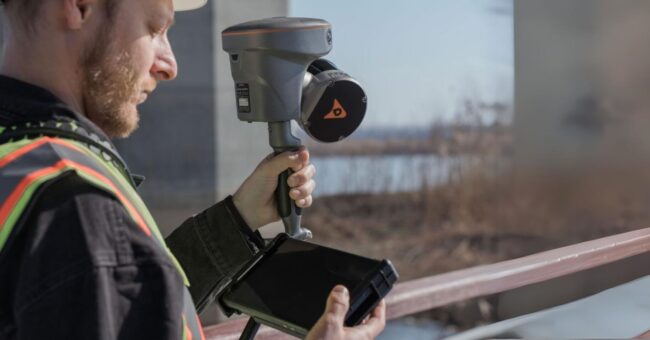
New CHC RS10 “Handheld SLAM LiDAR with RTK G…
By
CHC Navigation has introduced the RS10, a handheld SLAM LiDAR laser scanner integrated with a full RTK GNSS receiver. Geared…
2 min read
545 reads
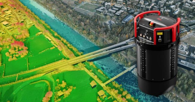
New Leica TerrainMapper-3 Airborne LiDAR Sensor
By
Leica Geosystems, part of Hexagon, introduces the Leica TerrainMapper-3 airborne LiDAR sensor, featuring new scan pattern configurability to support the…
2 min read
572 reads

New Hybrid Mobile Mapping Solution, Stonex X70 GO!
By
X70GO is a real-time 3D model reconstruction device which integrates inertial navigation module, high performance computer and storage system. It…
< 1 min read
585 reads

Top 10 Camera Features for Aerial Mapping: A Guide…
By
Unlocking the breathtaking potential of aerial photography and mapping requires the perfect tool – the right camera. But with countless…
< 1 min read
613 reads
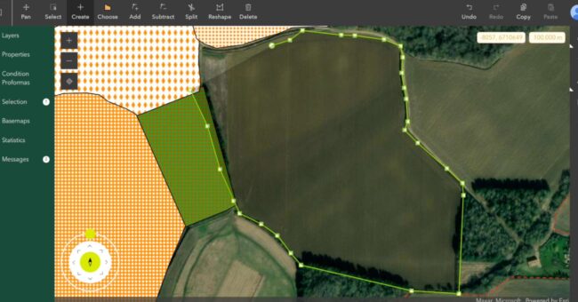
Esri UK’s Latest Partner, Temple, Introduces…
By
Temple, a prominent environmental , planning, and sustainability consultancy in the UK, has recently become a Silver Partner in the…
< 1 min read
651 reads
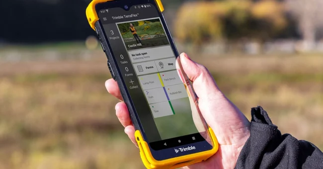
New Trimble TDC6 Data Collector
By
The Trimble TDC6 handheld is a multi-functional data collector that provides users with a flexible way to perform their field…
< 1 min read
865 reads
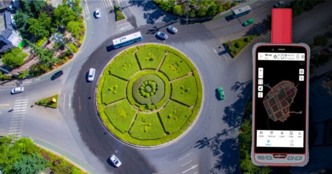
ComNav Launches New P6H Handheld for GIS
By
ComNav Technology recently unveiled its latest handheld solution, the P6H. Specifically crafted for GIS data collection and outdoor operations, this…
< 1 min read
633 reads


