GIS & Mapping
Your source for all things GIS and Mapping, including breaking news, updates, guides, tactics, tips, trends, equipments, softwares and more!
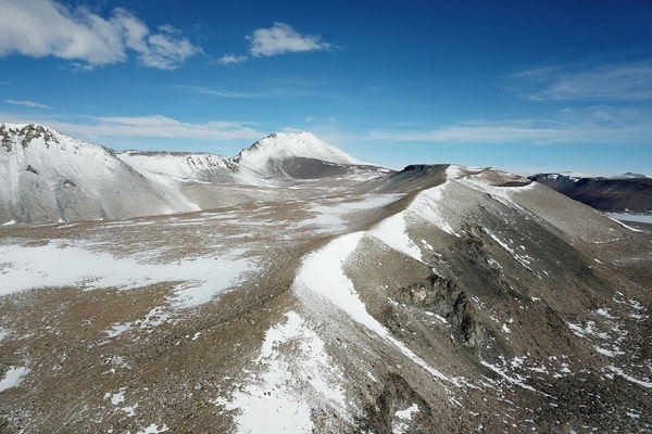
Drainage Pattern of the Eastern Antarctic Ice Shee…
By
DEAIS: Changes in the Drainage Pattern of the Eastern Antarctic Ice Sheet through Time The assessment of the stability of…
< 1 min read
790 reads
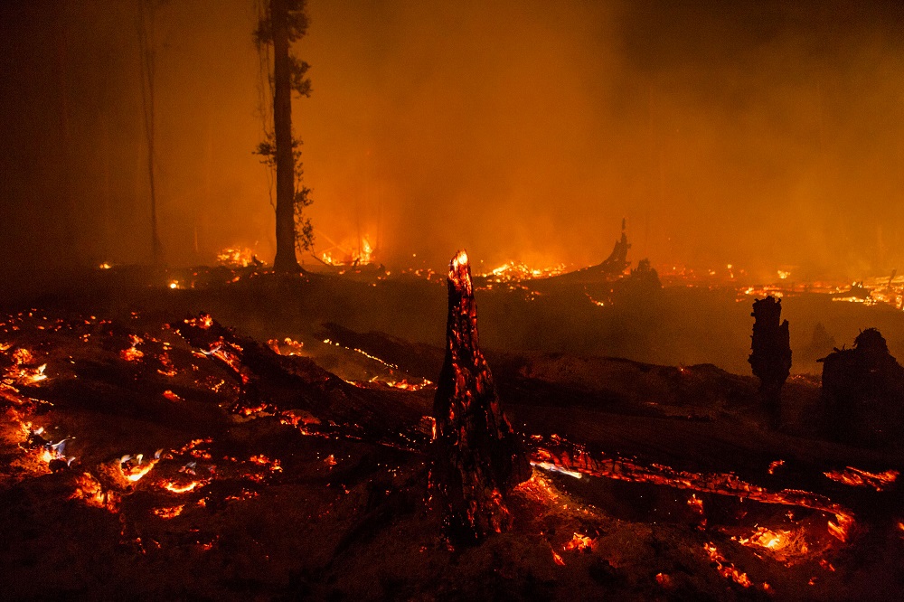
Latest Fire Maps
By
Forest fires, which we realize especially in the summer months, are actually one of the most effective and destructive ones…
< 1 min read
951 reads
Tracking the pace of the Pliocene and Last Intergl…
By
Recent ice sheet reconstructions and climate models indicate that the polar temperatures and global mean sea level were slightly higher…
4 min read
688 reads
Machine learning in location-intelligence technolo…
By
Almost everyone today uses some form of machine learning unintentionally. Several algorithms support the search features of Google, Facebook, or LinkedIn. The…
2 min read
1K reads
New Mobile Mapping App “SeçGEO”
By
Let us take a look at what you can do with SeçGEO application, which works on Android-based mobile phones and…
3 min read
752 reads
Birds of Lake Eymir are Protected with GIS!
By
Lake Eymir, located on the METU campus, is home to many plant species and species. The METU Birdwatching Group, which…
3 min read
708 reads
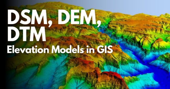
DSM, DEM, DTM: Elevation Models in GIS
By
This article discusses the basic digital elevation models DSM, DEM, and DTM required to depict various aspects of the Earth’s…
2 min read
4K reads
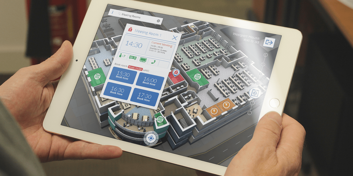
What is Indoor Mapping?
By
With the introduction of smart phones into our daily lives, navigating to the point we want to reach by using…
2 min read
2K reads

Esri Turkey Young Scholars Contest Begins!
By
ESRI Turkey , ESRI User Conference (San Diego, California) will also represent Turkey is looking for the Young Scholar. We…
2 min read
800 reads
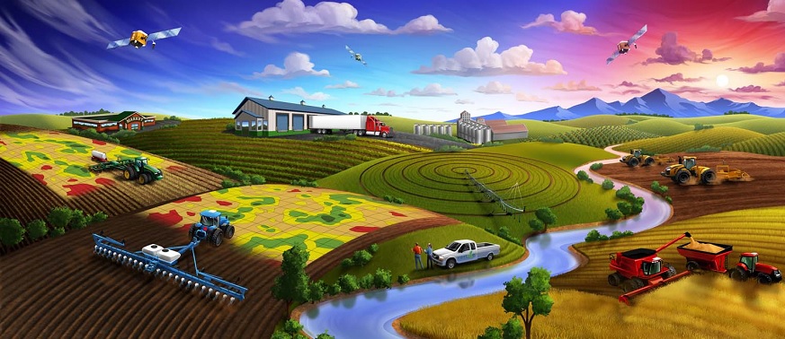
What is Precision Agriculture?
By
Precision agriculture is an understanding of business that is based on the fact that the farmer has all the information…
< 1 min read
1K reads


