GIS & Mapping
Your source for all things GIS and Mapping, including breaking news, updates, guides, tactics, tips, trends, equipments, softwares and more!

Why GIS important for Smart Cities?
By
GIS (Geographic Information Systems) has become an integral part of our daily lives in smart cities. GIS provides an IT…
2 min read
782 reads
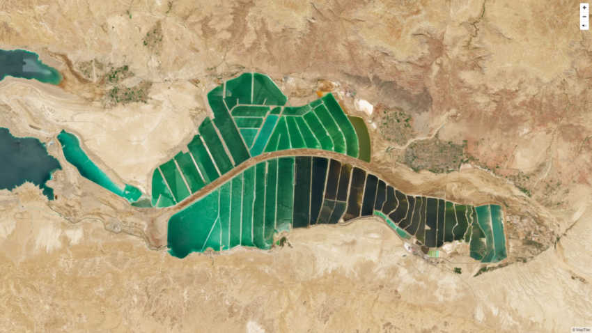
Free Access to 10m Global Satellite Map From MapTi…
By
Cloud-free satellite images are used in real estate websites, mobile apps, globes, games, and virtual worlds, in the infotainment systems…
< 1 min read
331 reads

Esri’s New Indoor Positioning System “…
By
Esri announces the release of ArcGIS IPS, its new indoor positioning system that takes indoor GIS to the next level. Adding…
4 min read
1K reads

5 Key Technology Trends for Construction Industry…
By
Construction sites are the perfect place to experiment with new technology. As construction sites are constantly changing, there’s always something…
3 min read
366 reads

How location intelligence powers the future of dri…
By
CES 2022 3 January 2022 HERE HD Live Map deployed in Mercedes-Benz DRIVE PILOT automated driving system. 8 out of…
4 min read
244 reads
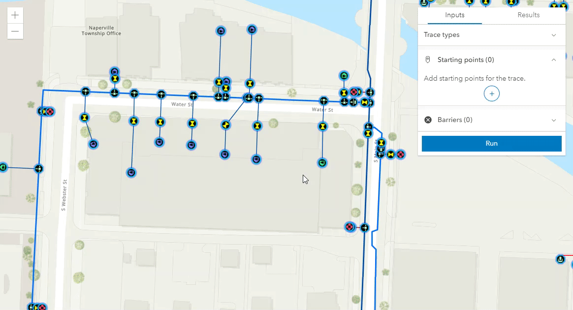
Trace a Utility Network with the ArcGIS API for Ja…
By
The ArcGIS Utility Network is supported in the ArcGIS API for JavaScript since the 4.20 release. With the 4.22 release, the UtilityNetworkTrace widget is now provided to…
5 min read
617 reads

The world’s first open digital cockpit software pl…
By
TomTom, the geolocation technology specialist, today unveiled TomTom IndiGO, the world’s first open digital cockpit software platform for carmakers. TomTom…
4 min read
364 reads

Huawei Asia Pacific Launches the Smart Campus Solu…
By
Tony Khoo, the President of the Singapore International Facility Management Association (SIFMA) also spoke at the opening of the event.…
3 min read
229 reads

GIS helps archaeologists trace a mother’s journey
By
“The tasks of paleontologists and classical historians and archaeologists are remarkably similar — to excavate, decipher and bring to life…
5 min read
248 reads
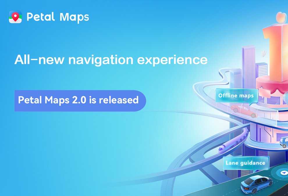
“Lane Guidance and Offline Map”, Huawe…
By
Huawei’s Petal Maps app today announced the launch of its version 2.0 update, adding a set of powerful new features…
3 min read
627 reads


