GIS & Mapping
Your source for all things GIS and Mapping, including breaking news, updates, guides, tactics, tips, trends, equipments, softwares and more!
What is Night Vision for Drones?
By
Night vision for drones can refer to three different technologies. Each of these allow a drone’s camera to record pictures…
3 min read
2K reads
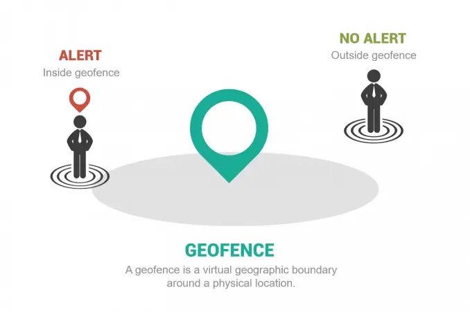
What is Geofencing?
By
Introduction to geofencing Geofencing is the usage of a virtual geographic boundary around a physical location. They allow users to…
< 1 min read
506 reads
Esri Geodesign Summit 2021
By
Our planet and its inhabitants are facing challenges like few times before in history—climate change, resource scarcity, and massive migrations…
< 1 min read
324 reads
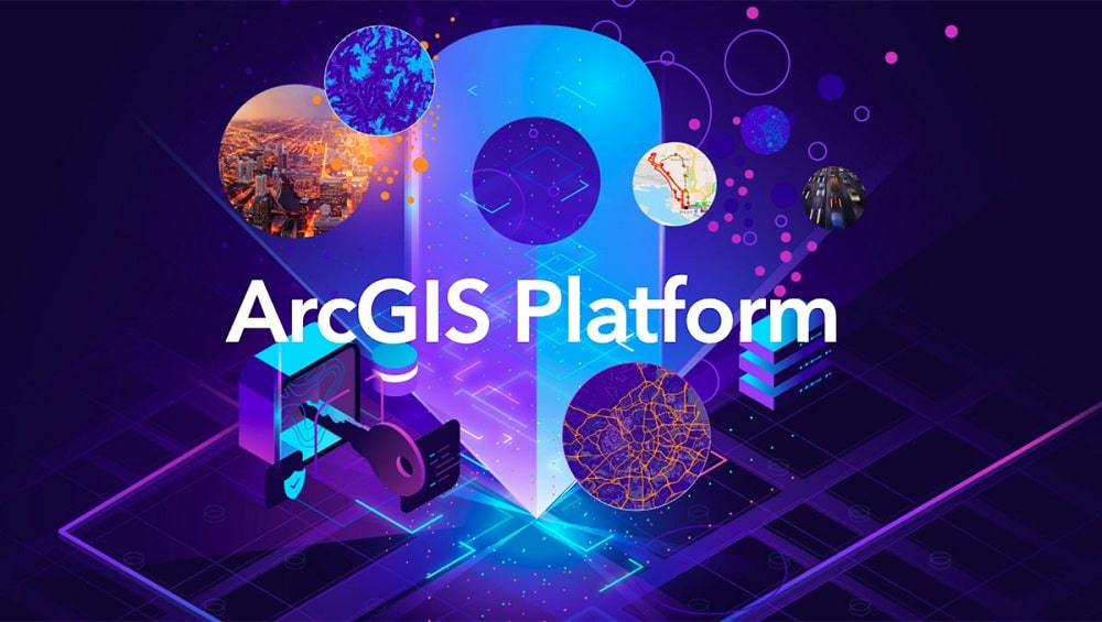
Esri’s Platform as a Service Launched
By
Esri announced a new product called ArcGIS Platform as a Service launched with an event video, which includes presentations from…
3 min read
1K reads
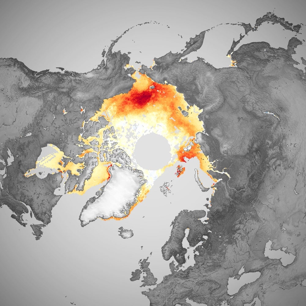
Arctic Sea Ice Level Observation From 40 Years of…
By
Throughout 2020, the Arctic Ocean and surrounding seas endured several notable weather/ climate events. In spring, a persistent heatwave over…
2 min read
275 reads
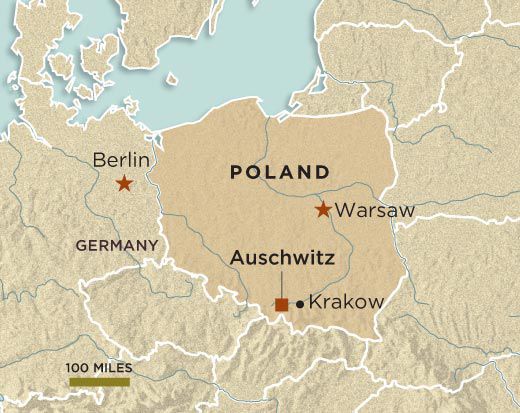
Auschwitz Liberation Through Maps
By
Nazi Germany’s largest concentration and extermination camps, Auschwitz, was established in 1940 in the suburbs of the Polish city of…
3 min read
684 reads

Teledyne Acquires FLIR to Create Advanced Sensing…
By
Teledyne Technologies is a provider of sophisticated instrumentation, digital imaging products and software, aerospace and defense electronics, and engineered systems. Founded…
2 min read
251 reads
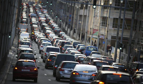
How does Google Maps predict traffic?
By
Predicting traffic conditions on the roads and determining the best routes for a journey is an incredibly complex task. And…
2 min read
458 reads

3D PluraView: The new reference for passive 3D-ste…
By
Anyone who has ever needed professional high-resolution 3D-stereo visualizations in their professional environment in medical technology knows the monitor series…
2 min read
1K reads
What is Metadata?
By
What is metadata and why is it important to document? Think about the last time you searched Google. That search…
< 1 min read
437 reads


