GIS & Mapping
Your source for all things GIS and Mapping, including breaking news, updates, guides, tactics, tips, trends, equipments, softwares and more!
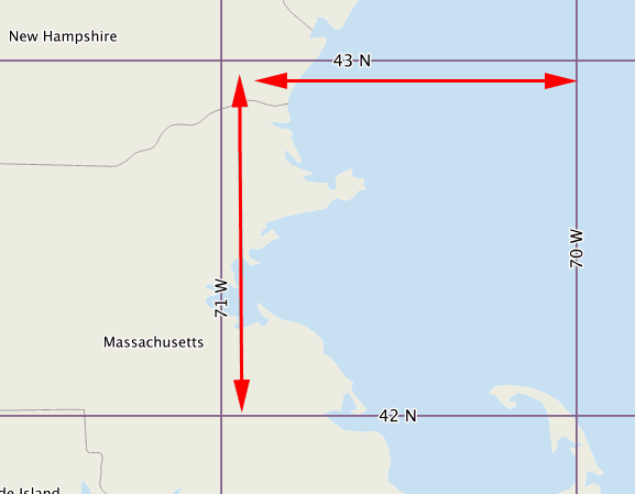
What is a Geocell?
By
A geocell (or geo-cell), in terms of GIS and mapping, is a cell in a grid that has a resolution…
< 1 min read
401 reads

HERON® MS Twin Introduced by Gexcel
By
Gexcel introduced the new HERON® MS Twin: a double Lidar sensor portable mobile mapping system, equipped with a 5K RGB…
2 min read
1K reads

3D PluraView Monitor product family expanded: new…
By
Two different screen sizes – Full-HD, with either 2.5K or 4K resolution The 3D PluraView family of monitors is a…
2 min read
1K reads

Cyberthreat Real-Time Map
By
A cyber threat/cyberattack is any type of offensive maneuver that targets computer information systems, infrastructures, computer networks, or personal computer…
2 min read
567 reads
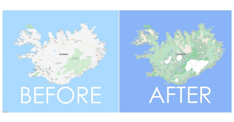
Google Maps became much more accurate and “c…
By
If you’ve used Google Maps for any length of time, you’ve probably noticed an occasional quirk: unless you’re using the…
2 min read
8K reads

Passive 3D-Stereo product family for Geospatial us…
By
A fourth model has been added to the Schneider Digital’s innovative, passive-stereo monitor family: with immediate effect, the 3D PluraView…
3 min read
410 reads
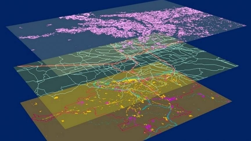
Powering the IoT and AI with Location throughout…
By
While digital infrastructure might not be the cure to COVID-19, the disease caused by the coronavirus, it is undoubtedly helping…
3 min read
235 reads

Meet Gexcel in 10 Quick Questions
By
Who is Gexcel and what are the product categories? Gexcel is an Italian company providing innovative software and instruments for…
6 min read
768 reads
Free GIS Course from ESRI Academy
By
Sign-up for ESRI Academy’s Free Online GIS Course, “Getting Started with GIS”, complete in only 3:30 hours! Recommended Article: For…
< 1 min read
1K reads
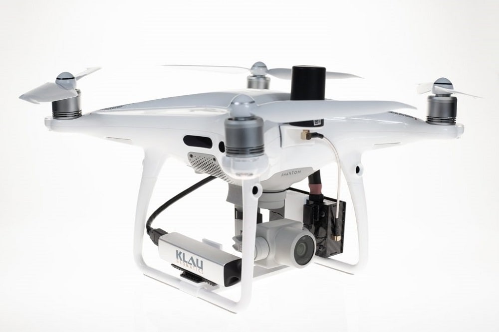
The Evolution of Accurate Drone Mapping
By
Over the past decade, the process of creating accurate 3D maps and models from drone photos, “Drone Mapping” has come…
5 min read
1K reads


