LIDAR
You can find the latest Lidar news, the best guides, and how-tos for the geospatial community.

Lidar Sensor Makers Unite to Build on NVIDIA DRIVE
By
When it comes to autonomous vehicle sensor innovation, it’s best to keep an open mind — and an open development…
3 min read
739 reads
5 LiDAR Usage That Transforms The World
By
LiDAR has multiple applications and utilities and its full scope would soon extend beyond our imagination as it unravels in…
3 min read
855 reads

CHC Navigation introduces the AlphaAir 450 LiDAR S…
By
The lightest, advanced accurate, and cost-effective UAV LiDAR system in its class. CHC Navigation (CHCNAV) announced the release of the…
2 min read
509 reads

New LiDAR Sensors Use MEMS Technology
By
For use in autonomous vehicles, LiDAR sensors have to meet two basic requirements: on the one hand, they have to…
3 min read
386 reads

3D City Model of Copenhagen from Open National Dat…
By
More and more European Union Member States are recognising the potential value of Open Data and are acting upon it.…
3 min read
863 reads

Next-generation Volvo cars to be powered by Lumina…
By
Volvo Cars, one of the global leaders in automotive safety, is setting new safety and technology standards by partnering with…
2 min read
307 reads
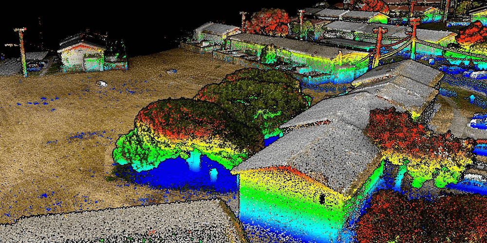
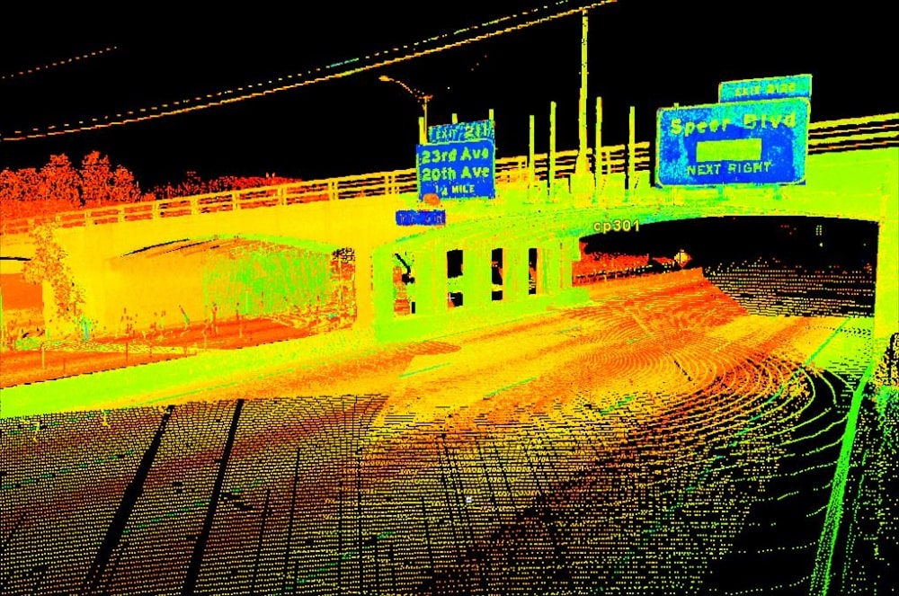
Aligning 3D Data Captured from UAV and Handheld Mo…
By
Next Generation LiDAR Surveying and 3D Mapping Solutions 3D point clouds constructed from multiple laser scanning platforms, such as mobile…
4 min read
372 reads
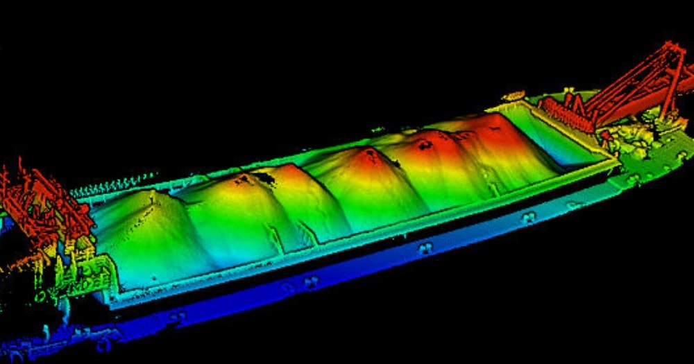
Calculating Sand Bulk Volume of Sand Barge using L…
By
River sand has become a hot commodity in recent years, thanks to the booming construction industry throughout Asia. In many…
3 min read
711 reads
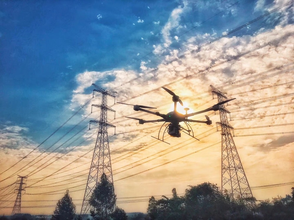
Power Line Corridor Mapping with Lidar
By
Routine inspection of power transmission lines is critical for securing the uninterrupted distribution of electricity. Recently, energy service providers have been…
4 min read
962 reads

LiDAR in Forestry: Finding DBH Values from Handhel…
By
A tree’s diameter at your breast or chest height is the most common tree measurement made on a tree by…
4 min read
608 reads


