Surveying
Your source for all things Surveying, including breaking news, updates, guides, tactics, tips, trends, equipments, and more!.

How AI is Revolutionizing Reality Capture and Surv…
By
In the latest episode of the SGN Show, we spoke with Dominique Meyer, the founder of Looq AI, about how…
< 1 min read
88 reads
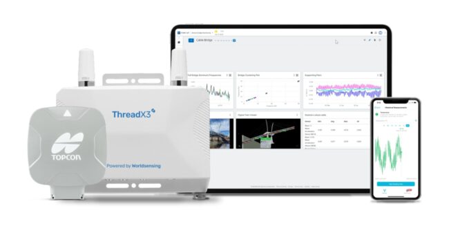
Topcon Technology Integrated into Bentley Systems…
By
Topcon Positioning Systems has announced strategic agreements with Bentley Systems and Worldsensing to integrate its advanced GNSS (Global Navigation Satellite System) technology into the companies’…
2 min read
132 reads
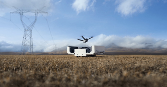
DJI Dock 2 The Next Generation “Drone in a B…
By
DJI, renowned as a pioneer in civil drones and camera technology, is once again proving its reputation with the introduction…
< 1 min read
129 reads
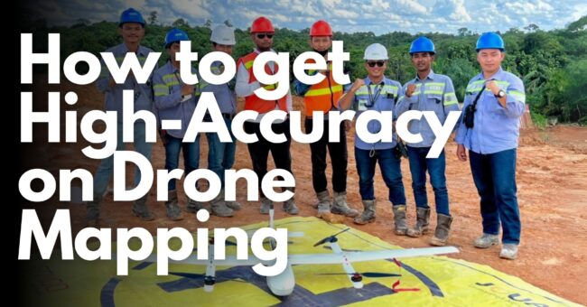
How to Get High-Accuracy on Drone Mapping
By
For all of us as a surveyor, accuracy is very important in drone mapping, photogrammetry, and aerial surveying. While GPS…
6 min read
272 reads

New Topcon MC-Max Asphalt Paving and Milling Solut…
By
Topcon Positioning Systems has announced the latest evolution of the company’s road construction and resurfacing technology with the introduction of…
2 min read
256 reads
Top 10 Camera Features for Aerial Mapping: A Guide…
By
Unlocking the breathtaking potential of aerial photography and mapping requires the perfect tool – the right camera. But with countless…
< 1 min read
603 reads
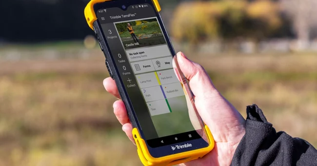
New Trimble TDC6 Data Collector
By
The Trimble TDC6 handheld is a multi-functional data collector that provides users with a flexible way to perform their field…
< 1 min read
864 reads
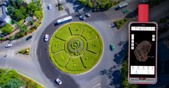
ComNav Launches New P6H Handheld for GIS
By
ComNav Technology recently unveiled its latest handheld solution, the P6H. Specifically crafted for GIS data collection and outdoor operations, this…
< 1 min read
632 reads
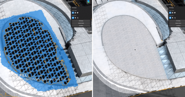
DJI Modify, The New Intelligent 3D Model Editing S…
By
DJI has just announced their first intelligent 3d model editing software. DJI Modify has amazing features that you will love.…
3 min read
884 reads
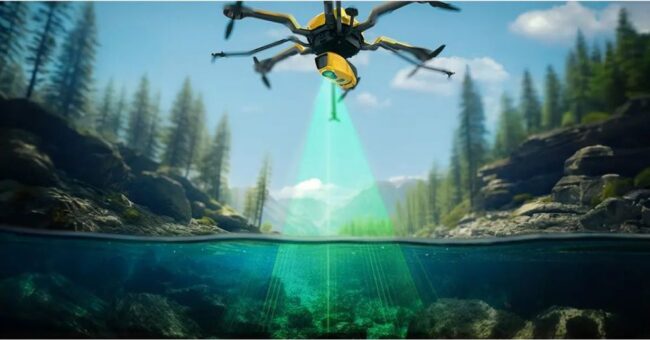
YellowScan Announced the New Bathymetric LiDAR Sol…
By
YellowScan, a prominent player and innovator in the field of LiDAR solutions for unmanned applications, has unveiled its latest bathymetric…
< 1 min read
659 reads


