Emlid introduced new functionality and a new name for its survey app. Emlid Flow is the highly upgraded ReachView 3 app featuring new professional survey tools to ease your work both in the field and the office.
The Emlid Flow functionality for fieldwork has been enhanced with linework and coding. For greater flexibility, Emlid has also launched a cloud-based service Emlid Flow 360 that allows managing survey data from the desktop in the office.
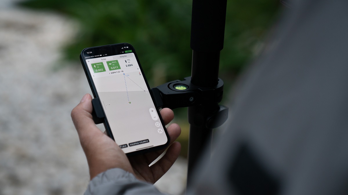
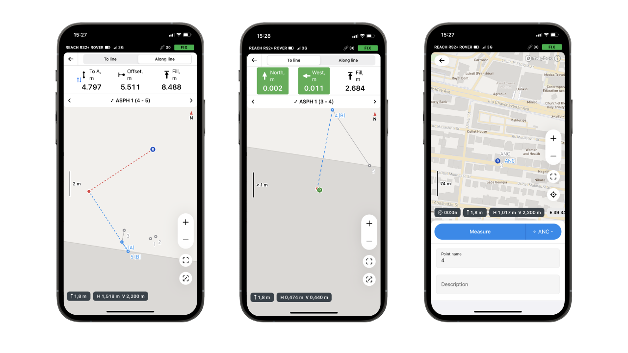
With Emlid Flow, you can create the linework on the go. Measure and move ahead with just a few taps using predefined geometry types or a full-blown code library. The linework is displayed immediately to show how the project is progressing. While staking a line using Emlid Flow visual guides, you can easily navigate to a line, and stake out a line with an offset and with a chainage.
Emlid Flow supports the coding of points and lines during collection in the field. You can upload a custom code library or use a standard one built into Emlid Flow, which has more than a hundred codes. No need to type the description for each point and line—just choose a code from a library at your fingertips. Quickly switch between different object codes, start or continue collecting the lines, and create new codes right in a survey project.
One more new feature brings several map layers. Now you can switch between a standard map and satellite imagery.
All the features previously available in the ReachView 3 app now moved to Emlid Flow and are available for free. As before, the app enables you to configure Reach receivers, collect and stake out points, set up a coordinate system, and export or import data in CSV, DXF, and Shapefile formats.
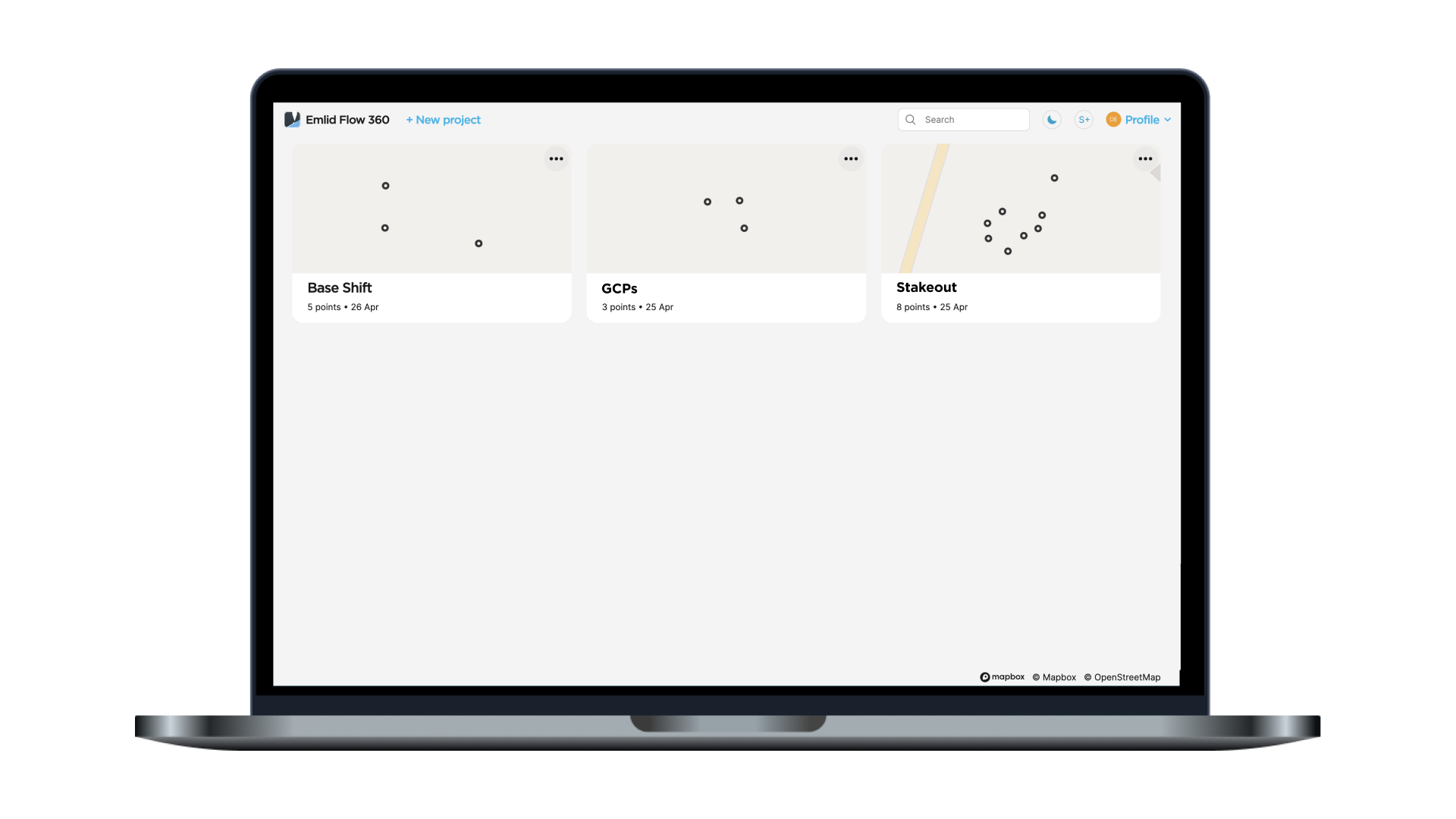
The Emlid Flow app is synchronized with a cloud-based service Emlid Flow 360. It allows you to access and manage survey data from the browser at flow360.emlid.com.
With Emlid Flow 360, it’s easy to prepare for the fieldwork from the comfort of your office—create projects, configure coordinate systems, choose code libraries or upload a new one, and import all the necessary data. It is immediately available inside the Emlid Flow app.
When the fieldwork is done, forget about manually transferring files from controllers—just log in at Emlid Flow 360, and all your field data is safely backed up here. The app can work offline and synchronize data to Emlid Flow 360 as soon as your phone is back online. From the cloud service, you can export projects in DXFs, Shapefiles, and flexible CSVs just like in Emlid Flow.
All the existing ReachView 3 features remain free in Emlid Flow with the Standard subscription plan. This plan also includes the core features of Emlid Flow 360—sync with the app, project creation, and data export and import.
To access new features, subscribe to the Survey plan—it brings linework, coding, and satellite map view. A single subscription works across both Emlid Flow and Emlid Flow 360. The Survey plan at a special price of $25/month is available with an annual subscription that you can buy in Emlid Flow 360. Local taxes may apply.
To try the new professional features, subscribe and get the free 2-week trial of the Survey plan. You can cancel the subscription anytime and get back to the Standard plan free of charge.