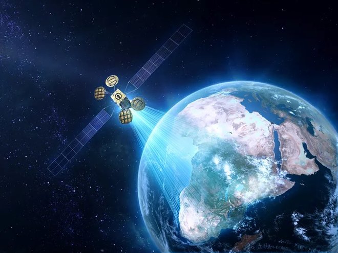


When a detailed data set is implemented in a virtual environment, the results can be both easy to understand and loaded with information. Information maps producer “ESRI” has once again done a great job with the satellite map. At first glance, this map simply shows the location of approximately 1,250 satellites in 3D, but as you explore the map, you will see that it actually contains more than that. Clicking on a satellite gives you the opportunity to explore the path of the orbit and the shadow of the 24-hour orbit. As you move the world, you can approach, scroll and move the satellites around the screen. You can click on a satellite for specific details, review its features, and turn different types on and off.
More information click here.