Survey Drone Solutions are continues to be one of the newest and most popular topics in the surveying industry. Many companies in the industry announce new updates almost every month.…
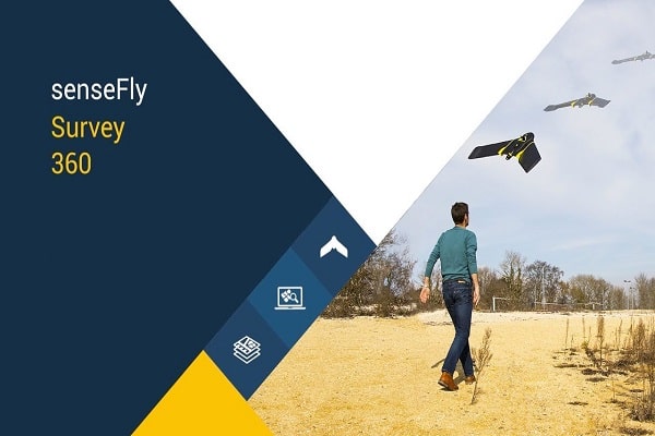
Survey Drone Solutions are continues to be one of the newest and most popular topics in the surveying industry. Many companies in the industry announce new updates almost every month. With these new updates and solutions, reliance on the drone data has increased day by day. senseFly’s Survey 360 is a complete mapping system that can produce highly accurate data outputs and offers solutions for your problems.
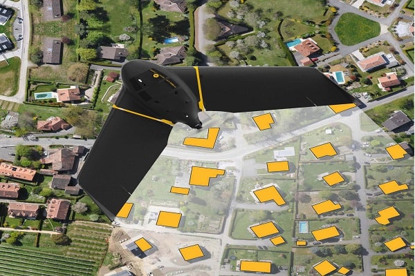
Accurate geodata in hours, not days
- Plan: Define the site (or sites) to map using eMotion
- Capture: Fly the eBee X fixed-wing drone to capture high-resolution, georeferenced RGB images
- Generate: Process the drone’s georeferenced photos (choose local/cloud processing) using Pix4Dmapper. Analyse geo-accurate orthomosaic, point cloud & surface model outputs
- Act: Create client deliverables (contours, cadastre plans, classified point cloud etc.) Import survey drone outputs into third-party software (CAD etc.) as required
As easy as X, Y, Z
- Efficient: 75%-80% quicker, 3-5x lower cost than terrestrial measurement
- Insightful: Visualise sites easily in high-res 2D and 3D, huge density of data points
- Accurate: Achieve high absolute accuracy of down to 3 cm via built-in RTK/PPK, No Ground Control Points required
- Easy: Two-minute set-up for quick deployment
- Connected: Compatible with leading base stations, data outputs compatible with industry softwares (AutoCAD/ArcGIS/Bently etc.)
5 Reasons To Fly A Fixed-Wing Drone
- When flying a 100 ha mapping project, a fixed-wing senseFly eBee X drone can complete this job in 26 minutes, a saving of 22 minutes over a typical quadcopter system.
- Things get really exciting when you realize you can save up to USD $385 (per mapping mission) by flying a fixed-wing drone versus a quadcopter!
- If you typically fly large 300 ha sites, flying a fixed-wing drone would be the difference between completing (and billing) for five projects versus eleven projects!
- When mapping a 40 ha site, for example, the zone from which you can successfully take off and land is over five times larger with an eBee X versus a quadcopter!
- With a senseFly eBee X fixed-wing drone, you can map a 28-kilometer corridor flying at a height of 120 meters versus just 9 kilometers with a typical quadcopter – that’s up to 3x longer!
Complete Survey Drone Mapping System senseFly Survey 360 comes with everything you need!
- eBee X Survey Drone
- eMotion Software
- Pix4Dmapper Software
- Education and Support
- Optional: senseFly GeoBase
If you need more details about camera model characteristics, you can click here to visit camera collection comparison tool.