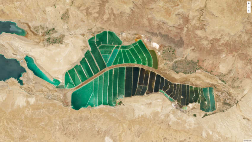
Cloud-free satellite images are used in real estate websites, mobile apps, globes, games, and virtual worlds, in the infotainment systems on airplanes, and even features in TV news and weather.
Crafted by a small Swiss/Czech team, it is a viable, up-to-date alternative to Google maps for software developers – with no privacy issues and unlimited possibilities for its application. Available including seamlessly merged, super-high-resolution aerial images for selected countries, ensuring there is even more detail when users zoom beyond the satellite data.
In addition, scientists and artists can download it for their own innovations and creations. They’ve made this possible by crunching 180 terabytes of imagery to fit on a 512 gigabyte USB stick.
MapTiler has a history of collaborating with the European Space Agency (ESA) and their Copernicus earth observation project, winning two Copernicus Masters Awards. Working in ESA’s Business Incubation Center also boosted their ability to turn satellite imagery into something beautiful.