Geographic Information Systems (GIS) is a rapidly growing field that allows us to collect, store, analyze, and visualize spatial data. With GIS , we can make informed decisions about everything from urban planning to environmental conservation. If you’re interested in becoming GIS expert, there are a few key steps you can take to get started. In this blog post, we will cover some of the essential skills and knowledge you’ll need to develop to become a GIS expert, as well as some tips and resources to help you along the way. Whether you’re just starting out or looking to advance yor GIS carer, this post will provide you with the guidance you need to become a GIS expert .
To become a GIS expert, you need to gain knowledge and skills in the following areas:
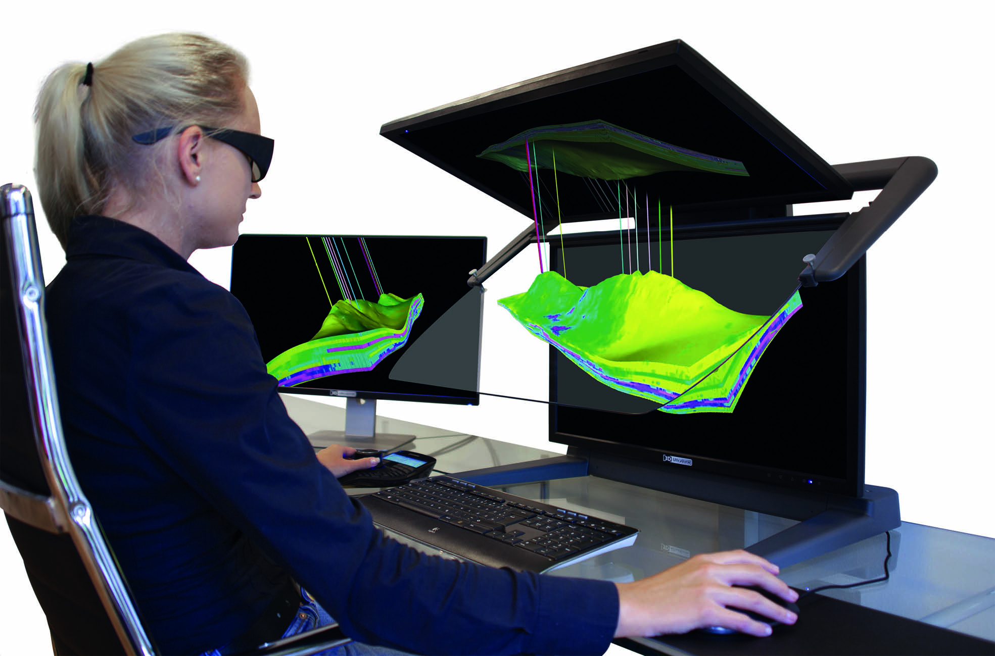
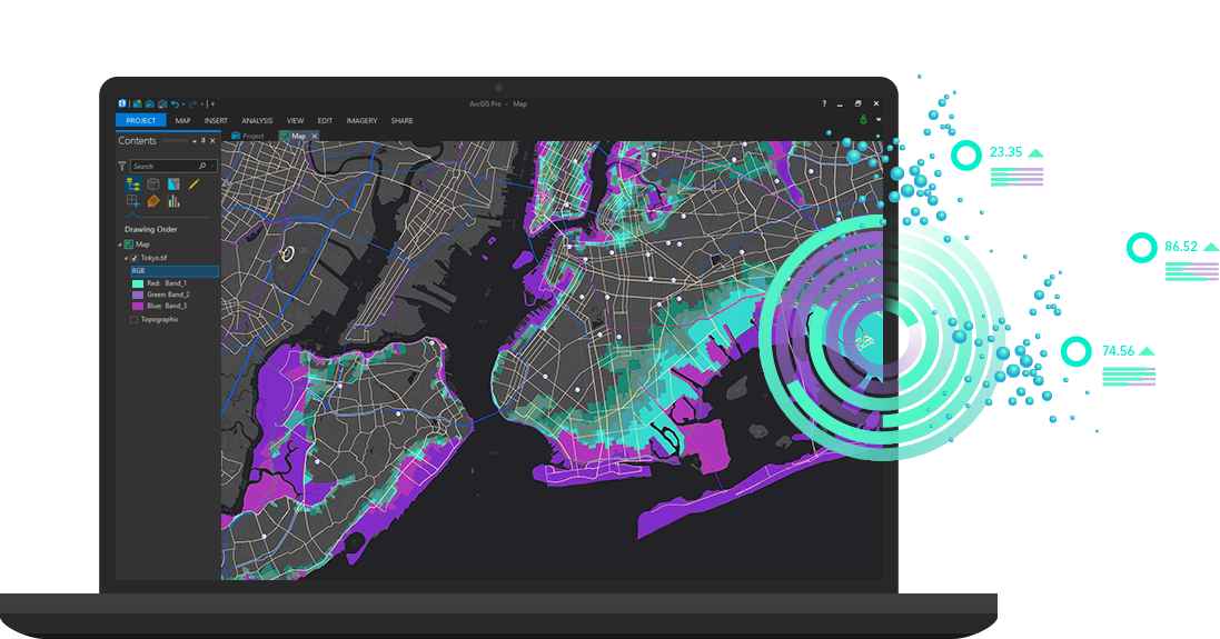
You need to be proficient in GIS software, such as ArcGIS, QGIS, or MapInfo. You can learn these programs through online courses or tutorials, or by attending classes at a university or community college.
You should have a good understanding of geographic concepts, such as latitude, longitude, projection systems, and coordinate systems. You should also be familiar with cartography, which involves creating maps and visual representations of data.
You need to be skilled in data analysis, including the ability to collect, store, manipulate, and analyze spatial data. You should be able to work with different types of data formats, including vector and raster data.
You should have knowledge of programming languages such as Python, R or SQL, as well as skills in automation techniques like scripting, model building, and batch processing.
To excel as a GIS expert, it is essential to have domain knowledge. For instance, if you are interested in environmental GIS, you should have knowledge of environmental sciences, regulations and policies.
To develop these skills and gain knowledge, you can follow these steps:
Consider enrolling in a degree program in geography, cartography, or GIS. Many universities offer certificate and degree programs in GIS that provide hands-on training and knowledge.
There are many online courses, tutorials, and video lectures available that can help you gain knowledge in GIS.
Attending conferences and workshops can expose you to the latest technology, methods, and best practices in the field.
The more you work with GIS software and data, the more proficient you will become. Undertake projects that require a range of skills in GIS and focus on practical applications.
Build a portfolio of GIS projects and skills, which can demonstrate your proficiency and provide evidence of your experience.
Remember, GIS is a vast field, and becoming an expert takes time, patience, and dedication. With persistence and a focus on skill-building, you can succeed in this exciting and growing field.
You may also read