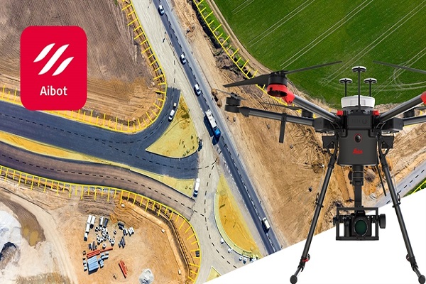
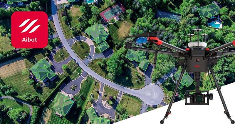
Leica Geosystem unveils the latest ansız Leica Aibot ini, the latest unmanned aircraft UAV system integrated on DJI’s aerial platform M600 Pro to quickly and autonomously acquire mobile 3D mapping data. The new UAV technology aims to provide a complete data set in less time with a user-friendly and innovative interface.
Leica’s software package also supports new UAV workflows. The use of Leica Infinity for point cloud, digital surface model and orthophoto production enables data to be easily processed and visualized to maximize researchers’ productivity and accelerated data delivery.
Automating Operations
The new iha technology, developed jointly with DJI, the world’s leading UAV manufacturer, allows for easier processing and analysis of millions of data collected by users. It also visualizes data to provide actionable information. UAV data can be combined with existing measurement technologies such as GNSS and laser scanning to provide a more complete set of information.
Throughout the life cycle of a project planning, design and construction, Aibot; provides easier access to critical information to perform volume calculations and monitor the progress of fieldwork. Creating digital terrain models offers easy solutions in many areas, from stripping and pouring, tillage, grooving to paving and compacting.