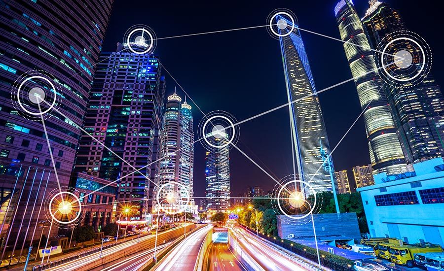
Lidar is one of the key technologies that will help in smart city infrastructure deployment. These sensors provide spatial data with immunity to low light conditions while maintaining privacy protections.
This allows the sensors to gather information about the city during the day as well as night, something some cameras are unable to accomplish. Here are five ways in which lidar is being implemented in current and future smart cities.
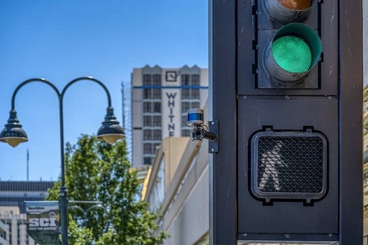 A lidar sensor is mounted to a traffic light to monitor vehicles to keep tabs on busy areas of the city. Source: Velodyne
Using lidar for traffic monitoring will be a big step for smart cities. Because these sensors operate in low light conditions, they can monitor traffic flows both day and night. 3D lidar can be deployed to count cars in busy intersections across multiple lanes of traffic.
Additionally, the technology can identify different types of vehicles with better accuracy than standard cameras. This helps municipalities gain a greater understanding of where problems exist and why.
2) Pedestrian monitoring
Lidar can help municipalities identify high pedestrian traffic locations by counting the people at intersections, city parks, stadiums, downtown hot spots or other areas.
This information could be used for future city planning if more sidewalks are needed or foot bridges. It could also help in future and current pandemics when social distancing is needed.
Additionally, lidar can detect where a person is located and in which direction they are moving. This type of information could be used by law enforcement to look for individuals of interest or could help in Amber Alert situations.
3) Security management
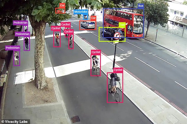
Along the same lines as people counting, security management via lidar provides real-time detection, identification and tracking of people, vehicles and even small animals.
The lidar can be fine-tuned for custom-alarm perimeters to meet the needs of businesses or government buildings that require an additional layer of security.
Self-driving cars will be key in smart cities to providing data and information about road hazards, smart parking and generating maps for urban planning. Source: Velodyne
4) Urban planning
Lidar surveying allows municipalities to create detailed 3D models of cities that can be used for:
According to urban planning firm ACI USA Inc., much of this lidar mapping is currently done through planes flying over areas that need to be surveyed, self-driving cars equipped with lidar could make this process much easier and more detailed.
This ground-level approach could be used for future road evaluation and transportation planning. Also, it could be used to examine and identify issues with current urban areas or where new buildings and construction are planned.
5) The self-driving car connection
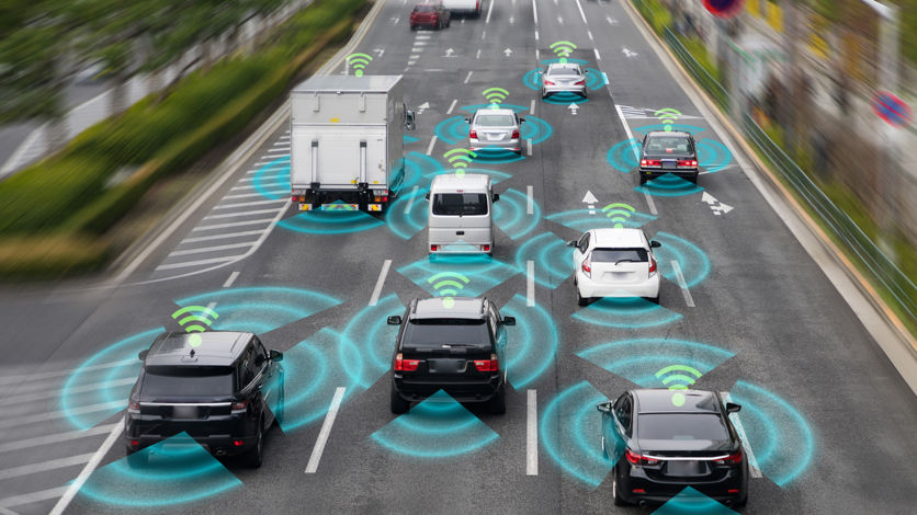
Given that lidar will be a prominent technology used in self-driving cars, the connection to smart cities will be a natural fit. As vehicles become more connected, in smart cities vehicle-to-everything (V2X) will allow the car’s communication system to use sensors and other data sources to transmit and receive information.
Lidar in self-driving cars will constantly capture data about the vehicle and its surroundings and transmit this information to a central database to spread road conditions and roadway systems to other vehicles. This system could also relay road hazards or emergency situations to other vehicles to alert them to stay away or find a new route.
Smart parking will also be enabled through lidar and self-driving cars. A University of California-Berkeley study found that the U.S. had about 1 billion parking spaces for the 253 million cars and trucks on the road. That’s about four parking spaces for each vehicle.
Yet, parking is difficult to find in cities. Smart parking through V2X and lidar could identify open spots and relay the information to autonomous vehicles, allowing the cars to easily navigate to open spots and save on fuel consumption and headaches.
Conclusion
While these technologies are still some years off, lidar use cases in smart cities will enable municipalities to create safer streets for civilians while cutting traffic issues and improving parking situations. Also, when self-driving cars emerge, lidar will be used for urban planning and for enabling V2X communications.
Lidar is in nascent stages as well and the industry could see more applications for the technology in the future as more smart city projects emerge