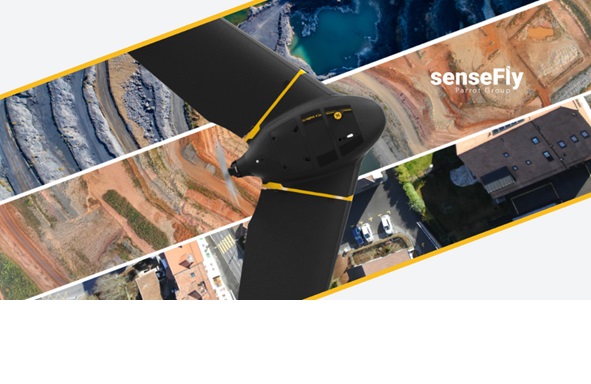
We had a short interview with Sensefly marketing and communications manager Jessica Sader about her new products. We have learned about eBee X, the latest eBee in the senseFly series, which has thousands of users around the world.
1. What we will see from senseFly team at this new season?
a. senseFly’s newest product is the eBee X fixed-wing mapping drone. Launched with the promise that “it’s not about the drone,” but instead about overcoming business challenges, the eBee X, part of the Parrot Business Solutions portfolio, is designed to boost the quality, efficiency and safety of an operator’s geospatial data collection. Its modular design offers a camera to suit every job, the accuracy and coverage capabilities to meet the requirements of even the most demanding projects and is durable enough to work virtually every site.
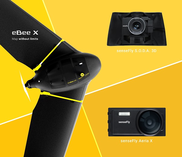
b. The eBee X includes a range of revolutionary new camera options to suit every mapping job—from land surveying and topographic mapping to urban planning, crop mapping, thermal mapping, environmental monitoring and many more. These cameras include:
i. The senseFly S.O.D.A. 3D: a unique drone 3D mapping camera with a one-inch sensor, which changes orientation during flight to capture three images (two oblique, one nadir) every time, instead of just one, for a much wider field of view. The result is stunning digital 3D reconstructions in vertically-focused environments—such as urban areas, open pit mines and coastlines—over larger areas than quadcopter drones can achieve. senseFly S.O.D.A. 3D is optimised for quick, robust image processing with Pix4Dmaper software.
ii. The senseFly Aeria X: a compact drone photogrammetry camera with APS-C sensor. This rugged innovation offers an ideal blend of size, weight and DSLR-like image quality. Thanks in part to its built-in Smart Exposure technology, it provides outstanding image detail and clarity, in virtually all light conditions, allowing operators to map for more hours per day than ever before.
iii. The senseFly Duet T: a dual-camera thermal mapping rig, which lets mapping professionals create geo-accurate thermal maps and digital surface models quickly and easily. The Duet T includes both a high-resolution (640 x 512 px) thermal infrared camera and a senseFly S.O.D.A. RGB camera with one-inch sensor. Both image sources can be accessed as required, while the rig’s built-in Camera Position Synchronisation feature works in sync with Pix4Dmapper photogrammetry software (optional) to simplify the map reconstruction process.
Could you explain what your team is working on these days?
Our current focus is to continue to develop end-to-end drone solutions for professionals in industries such as surveying, agriculture, engineering and humanitarian aid. With the launch of the eBee X, our team is concentrating educating the market about this new fixed-wing drone and the benefits it can provide for so many professionals.
How many professionals using senseFly products currently? Please give some statistic with different industries and countries
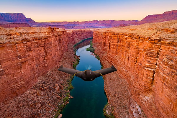
SenseFly the industry’s leading provider of fixed-wing drone solutions and our aircraft are used across all territories. The eBee drone is used on every continent, from North America, our largest region, to Europe, Asia, South America and Africa. Because of it’s portability and long range, it is often used in the worlds most remote locations including high mountains and remote islands.