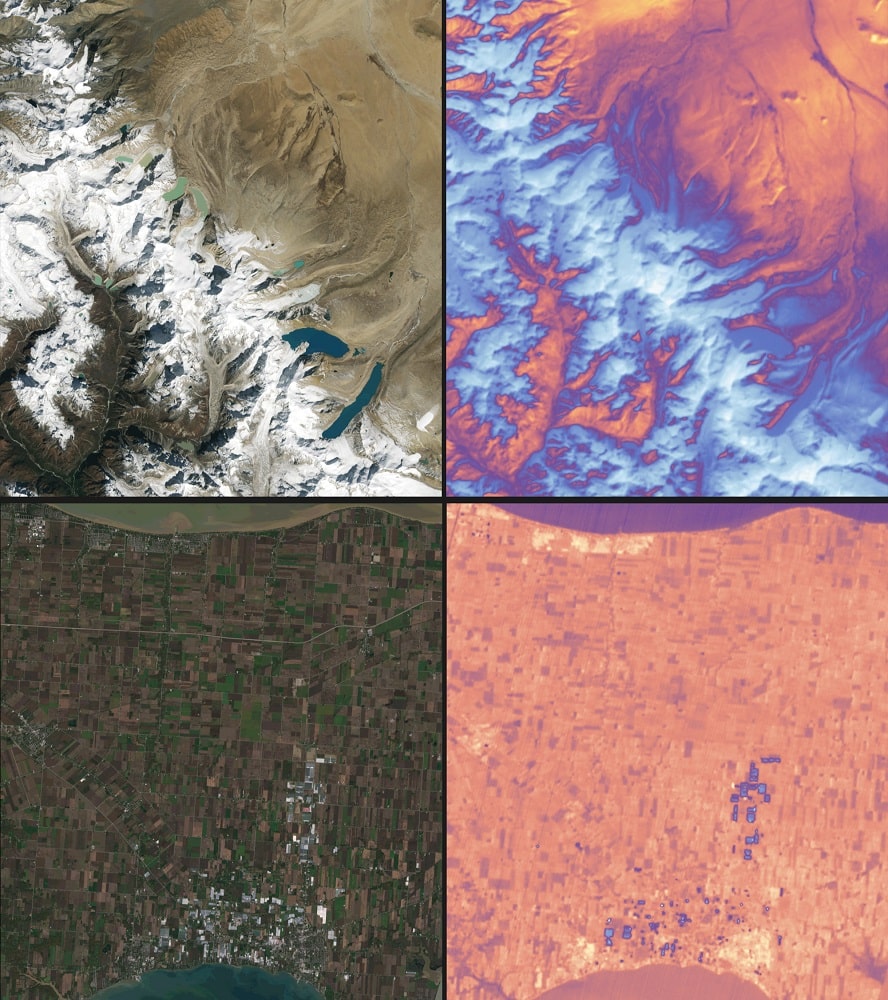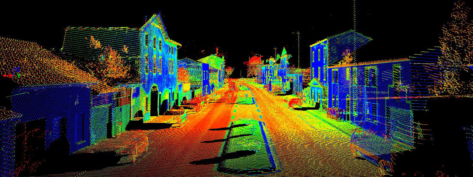
Mobile mapping is the process of collecting geospatial data by using a mobile vehicle equipped with a laser, GNSS, LiDAR-system, radar, photographic device, or any number of remote sensing devices. With mobile mapping systems, terabytes of high resolution and precision data can be collected quickly. These systems can capture about 1,000,000 measurements per second. Moreover, when combined with positional equipment, these georeferenced data points can be used to create accurate, three-dimensional digital elevation models (DEMs) or Digital Terrain Models of almost any environment.
Recently, it has become one of the well-known geospatial technologies; enabling scientists, researches, and/or anyone to capture required data points and make precise and accurate environmental predictions. At this pace, the mobile mapping will outstrip other technologies in the geospatial sector and change the way that the environment is visualized, measured, and analyzed.
Mobile mapping utilizes a lot of cutting-edge measurement and image capturing tools, and an expansive range of mobile transportation systems which make it extraordinarily simple for users to record, visualize, and understand environments comprehensively.
In the past, it was literally rough to visualize environments of underwater or underground structures. However, over the past few years, mobile mapping made this effortless, comprehensive, quick, and accurate.

In view of its principles, mobile mapping can be categorized as indoor-based MMS, land-based MMS, or marine-based MMS.
Mobile mapping technology is already being used to survey major road and rail projects, for mapping urban environments, understanding underground and underwater structures, and to improve safety in power infrastructure and plants around the world.
Whenever it’s implemented, the GPS, INS, and vehicle wheel sensors help in tracking the positional data about the mapping sensors as well as the vehicle. The target object is surveyed and sensed with the help of navigation sensors like laser rangers, cameras, radar, etc. The spatial information of the target object is taken directly from the georeferenced mapping data. This may appear to be confounded, yet mobile mapping makes it unbelievably simple and hassle-free.