Photogrammetry, which is one of the rising methods of cartography, architecture and many other sectors, stands out with its features such as texture creation, detail capture, not just for measuring purposes. Stereophotogrammetry is considered as one of the methods we can use these features.
Photogrammetry uses methods from many disciplines, including optics and projective geometry. The digital image capturing and photogrammetric processing includes several well-defined stages, which allow the generation of 2D or 3D digital models of the object as an end product.
Stereophotogrammetry involves estimating the 3D coordinates of points on an object, employing measurements made in two or more photographic images taken from different positions. The image is calculated from a collection of points obtained along an x, y, and z coordinate system.
Stereophotogrammetry based on the stereoscopic principles which allow us to create or enhance the illusion of depth in an image by means of stereopsis for binocular vision. The binocular vision is based on the principle that we can present two slightly different images separately to the left and the right eye whereas such images are then combined by the viewer’s brain to give the perception of 3D vision. To present stereoscopic pictures, there are different ways such as polarization, anaglyph, chroma depth, etc. But the most common one is called “stereoscopic technique”.
Processing stereo images based on the rules of stereoscopic technique requires stereoscopic matching, tie points, the orientation of stereo pairs, and understanding the normal case of stereophotogrammetry, according to T. Luhmann, S. Robson, S. Kyle, J. Boehm, authors of Close-Range Photogrammetry and 3D Imaging.
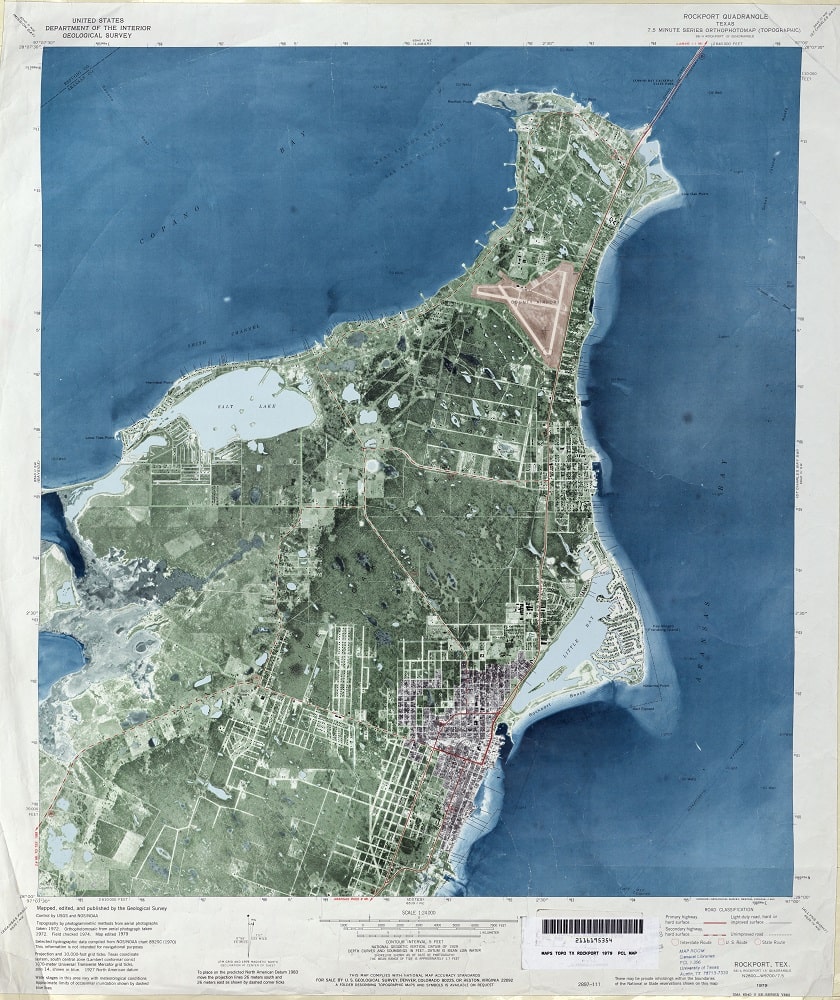
In remote sensing applications, photographs of the earth are taken and 3D topographic maps and computer models can be created using the stereo images. Stereo image pairs are used to make digital elevation models (DEMs), orthophotos, orthomosaics, orthophotomaps according to the needs of your application.