The leaders of organizations rely on having the resources and intelligence that guide them toward making the right decisions at the right times. Accurate information enables the strategic choices that lead to efficient operations and sustainable growth. The development of geographic information science has been a boon to many businesses and organizations seeking to advance their missions.
Uber is a company that relies heavily on geospatial data, as anyone can see when they request a ride. The app matches each user with the closest driver who is prepared to take a new rider. Guided by the app, the driver arrives at riders’ precise locations and transports them to their destination.
Further, Uber’s capabilities go beyond consumer transportation. A project called Movement is designed to monitor and analyze traffic flow in cities. The government agencies and organizations that use GIS data provided by this project can see the impact from events like road closures and make informed decisions about scheduling infrastructure projects or managing traffic.
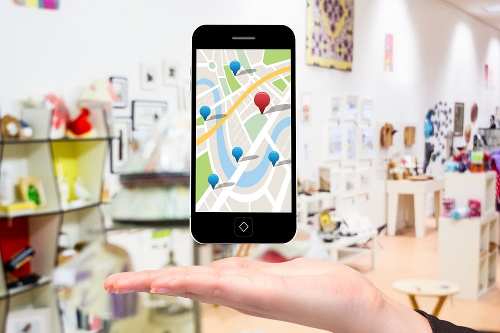
Google maps has 154.4 million monthly unique users. And behind every map, there’s a much more complex system, the key to your queries but hidden from your view.
This more in-depth system contains the logic of places, all the left and right turns, freeway on-ramps, speed limits, traffic conditions, you name it. And to produce such a system, Google uses geospatial data provided by a third party to deliver digital maps and other dynamic content for navigation and location-based services.
Walgreens stores offer influenza vaccines to protect their customers against infection. WalMap shows where the flu is hitting the hardest, tracking geographical patterns and releasing updates ahead of the U.S. Centers for Disease Control’s weekly reports. This data may motivate consumers to take extra precautions if they’re living in an area that’s showing heightened risk of getting sick. The warning also gives the company’s thousands of locations time to stock up on flu vaccinations and other helpful supplies in preparation for an influx of under-the-weather customers.
Starbucks analyzes a wide range of factors before deciding to break ground in an area, including:
In some cases, Starbucks finds there’s enough demand to support multiple locations within walking distance from one another.
WHO uses GIS to achieve its ambitious agenda of promoting well-being around the globe by tracking relevant patterns in health information. The data they uncover can help create proactive measures to prevent health issues from escalating and to predict trends over time.
When determining where to open a new restaurant, leveraging mapping software and census data. Analysts continue to examine data after a location is constructed and operational as well.
Wendy’s considers factors like:
One important way NPS uses GIS is during search and rescue operations. When tourists get lost, confused, or injured while on trails, it’s crucial to help them as soon as possible. However, it’s not always easy to find them.
The Yosemite Search and Rescue team uses GIS to provide rescuers with detailed maps of the terrain, including potential hazards, elevation information, and other relevant data. Operators can also track GPS coordinates from field teams, determining the probability that a lost person is in the area and how likely the teams would be to detect someone in a certain segment of the park.
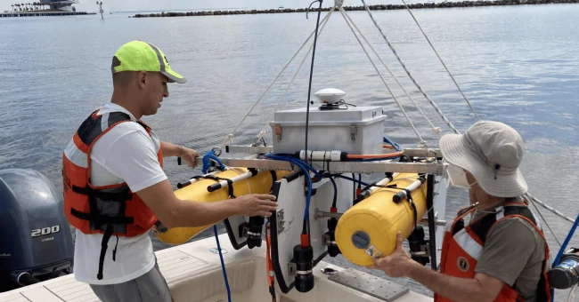
By integrating GIS with Artificial Intelligence, Amazon’s Prime Air drone project drones over much larger distances than other previous attempts. Amazon has jumped on this bandwagon, delivering packages by drones. The aim is to deliver packages to customers in 30 minutes or less using unmanned aerial vehicles – drones – operational thanks to geospatial data.
Source: How Top Businesses are Using Geospatial Data in 2021 and How Household Companies Use GIS