We rarely stop to appreciate just how complex modern surveying technology is. Surveyors use the most advanced physics, with decades of experience, in every component. Consider how GPS uses timing calculations from atomic clocks and signals sent from orbit. This technology is now ubiquitous in everyday life. Or how LiDAR must make thousands of calculations a second regarding how long a light beam has taken to return to it. Consequently, in such complex systems, there are many sources of error. Luckily, however, we can talk about these quite broadly to better understand the accuracy of our surveying. This article will discuss further some important points for improving point cloud accuracy from a surveyor’s perspective.
IMU accuracy
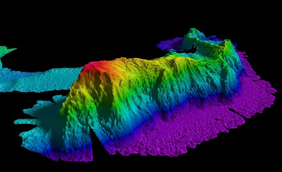
An IMU (inertial measurement unit) measures the intrinsic movement to which it is subjected. Typically using gyroscopic instruments and accelerometers the IMU will determine its acceleration and changes in its orientation. For surveyors, therefore, an IMU is extremely important. This is because surveying typically is the observation of objects at a distance from oneself for the greatest convenience but the further away an object is, the less accurately its position can be known. Consider the diagram below; for all measurements, there is an intrinsic error including in the angle changes measured by the IMU.
Taking a small angle approximation, the error in an objects position is simply the angular error x distance to the object. This means that a tiny angular error can easily lead to a very large discrepancy in a surveyed object’s position by being at a long-range. A typical IMU for surveying such as the OxTS NAV650 IMU might have an accuracy of half a degree.
The IMU is also very important for navigation purposes. Intrinsically, the IMU measures motion. This means that surveyors can use it as a rudimentary navigation device to track how the IMU is moving. Therefore it is possible to use a high-grade IMU to output the essential orientation information but also the information of where the IMU is located. However, all instruments exhibit a random walk or adrift in their measurements that will negatively affect point cloud accuracy. Therefore, an IMU alone will quickly drift away from its true position as it measures motion and does not localize position.
For the complete article on improving point cloud accuracy CLICK HERE.